|
search place name
|
||
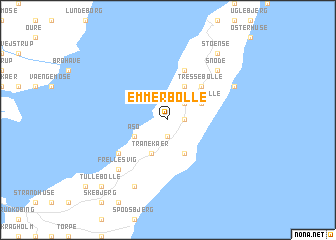
Emmerbølle (Fyn, Denmark)Emmerbølle is a town in the Fyn region of Denmark. An overview map of the region around Emmerbølle is displayed below.
regional and 3d topo map of Emmerbølle, Denmark ::
Emmerbølle airports ::
The nearest airport is ODE - Odense, located 60.0 km north west of Emmerbølle.
Other airports nearby include SGD - Soenderborg Sonderborg (69.2 km west), KEL - Kiel Holtenau (86.4 km south west), RKE - Copenhagen Roskilde (101.1 km north east), SKS - Skrydstrup (104.4 km west), Nearby towns ::
Lejbølle (1.1km east) //
Helletofte (1.9km south) //
Mileskov (2.1km north east) //
Botofte (3.9km south) //
Lungehave (2.8km north east) //
Bøstrup (2.8km north east) //
Svalebølle (2.8km north east) //
Tranekær (3.9km south) //
Fæbæk (3.9km north) //
Dageløkke (3.9km north) //
Åsø (2.8km south west) //
Tressebølle (4.3km north east) //
Ennebølle (4.3km north east) //
Skattebølle (5.7km north) //
Strandby (4.9km south west) //
Snøde (6.4km north east) //
Frellesvig (6.4km south west) //
Snøde Hesselbjerg (5.6km north east) //
Stengade (7.7km south) //
Stoense (8.1km north east) //
Tullebølle (8.5km south west) //
[all distances 'as the bird flies' and approximate] 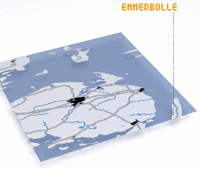 Places with similar names to Emmerbølle, Denmark :: Disclaimer :: Information on this page comes without warranty of any kind |
||
|
Where is Emmerbølle? Elevation and coordinates ::
Latitude (lat): 55°2'0"N Longitude (lon): 10°52'0"E
Elevation (approx.): 10m (map arrows pan, magnifying glasses zoom) |
||
|
Visiting Emmerbølle? Hotel/Accommodation ::
Book a hotel in Emmerbølle Travel Guide ::
Buy a travel guide for Denmark rental cars ::
car rental offers GPS waypoint ::
download a GPX waypoint (PoI) of Emmerbølle for your GPS receiver
|
||