|
search place name
|
||
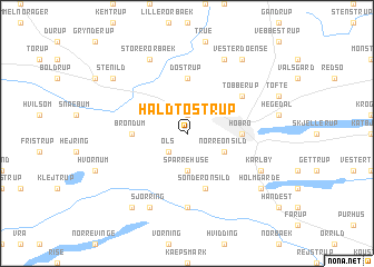
Hald-Tostrup (Nordjylland, Denmark)Hald-Tostrup is a town in the Nordjylland region of Denmark. An overview map of the region around Hald-Tostrup is displayed below.
regional and 3d topo map of Hald-Tostrup, Denmark ::
Hald-Tostrup airports ::
The nearest airport is AAL - Aalborg, located 51.5 km north of Hald-Tostrup.
Other airports nearby include KRP - Karup (53.7 km south west), AAR - Aarhus (65.2 km south east), TED - Thisted (80.1 km north west), BLL - Billund (106.1 km south), Nearby towns ::
Hørby (1.9km north) //
Øls (2.1km south west) //
Sparrehuse (3.7km south) //
Nørre Onsild (2.8km south east) //
Brøndum (3.1km west) //
Hobro (3.1km east) //
Døstrup (5.6km north) //
Sønder Onsild (5.7km south) //
Tobberup (4.8km north east) //
Onsild Stationsby (7.4km south) //
Sjørring (7.7km south) //
Karlby (5.5km south east) //
Store Rørbæk (7.7km north) //
Finderup (7.7km north) //
Lindum (8.0km south) //
Holmgårde (6.9km south east) //
Stenild (6.9km north west) //
Vester Doense (8.0km north) //
Høndrup (8.0km north) //
[all distances 'as the bird flies' and approximate] 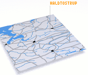 Places with similar names to Hald-Tostrup, Denmark :: Disclaimer :: Information on this page comes without warranty of any kind |
||
|
Where is Hald-Tostrup? Elevation and coordinates ::
Latitude (lat): 56°38'0"N Longitude (lon): 9°45'0"E
Elevation (approx.): 54m (map arrows pan, magnifying glasses zoom) |
||
|
Visiting Hald-Tostrup? Hotel/Accommodation ::
Book a hotel in Hald-Tostrup Travel Guide ::
Buy a travel guide for Denmark rental cars ::
car rental offers GPS waypoint ::
download a GPX waypoint (PoI) of Hald-Tostrup for your GPS receiver
|
||