|
search place name
|
||
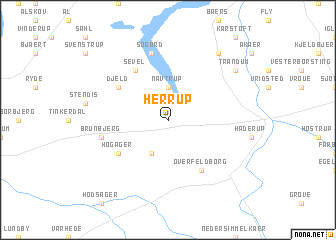
Herrup (Ringkøbing, Denmark)Herrup is a town in the Ringkøbing region of Denmark. An overview map of the region around Herrup is displayed below.
regional and 3d topo map of Herrup, Denmark ::
Herrup airports ::
The nearest airport is KRP - Karup, located 17.2 km south east of Herrup.
Other airports nearby include STA - Stauning (57.5 km south west), BLL - Billund (74.9 km south), TED - Thisted (75.6 km north), AAL - Aalborg (95.9 km north east), Nearby towns ::
Navtrup (3.7km north) //
Abildholt (3.8km south) //
Over Feldborg (5.9km south) //
Hogager (4.8km south west) //
Djeld (4.8km north west) //
Sevel (5.9km north) //
Søgård (7.5km north) //
Brunbjerg (4.5km south west) //
Trandum (6.9km north east) //
Mogenstrup (8.0km north east) //
[all distances 'as the bird flies' and approximate] 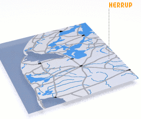 Places with similar names to Herrup, Denmark ::
Disclaimer :: Information on this page comes without warranty of any kind |
||
|
Where is Herrup? Elevation and coordinates ::
Latitude (lat): 56°24'0"N Longitude (lon): 8°55'0"E
Elevation (approx.): 46m (map arrows pan, magnifying glasses zoom) |
||
|
Visiting Herrup? Hotel/Accommodation ::
Book a hotel in Herrup Travel Guide ::
Buy a travel guide for Denmark rental cars ::
car rental offers GPS waypoint ::
download a GPX waypoint (PoI) of Herrup for your GPS receiver
|
||