|
search place name
|
||
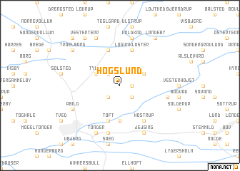
Høgslund (Sønderjylland, Denmark)Høgslund is a town in the Sønderjylland region of Denmark. An overview map of the region around Høgslund is displayed below.
regional and 3d topo map of Høgslund, Denmark ::
Høgslund airports ::
The nearest airport is SKS - Skrydstrup, located 32.8 km north east of Høgslund.
Other airports nearby include GWT - Westerland Sylt (39.2 km west), SGD - Soenderborg Sonderborg (55.1 km east), EBJ - Esbjerg (63.3 km north), BLL - Billund (83.6 km north), Nearby towns ::
Kongsbjerg (1.1km east) //
Ellum Mark (2.1km north west) //
Vennemose (2.1km south west) //
Travsted (2.1km south east) //
Tyvse (2.8km north west) //
Draved (2.8km north east) //
Lille Emmerske (5.6km south) //
Ellum (5.7km north) //
Toft (5.7km south) //
Store Emmerske (5.7km south) //
Løgumkloster (5.7km north) //
Hostrup (6.0km south) //
Rørkær (7.5km south) //
Koldkåd (7.5km north) //
Adelvad (4.6km south east) //
Abild (5.6km south west) //
Tønder (7.7km south) //
Nybo (7.7km north) //
Jejsing (7.7km south) //
Trælborg (7.0km north west) //
Vester Terp (8.1km north west) //
Landeby (8.1km north east) //
Kumled (8.5km north west) //
[all distances 'as the bird flies' and approximate] 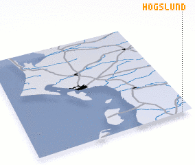 Places with similar names to Høgslund, Denmark ::
// Haugsland (NO)
Disclaimer :: Information on this page comes without warranty of any kind |
||
|
Where is Høgslund? Elevation and coordinates ::
Latitude (lat): 55°0'0"N Longitude (lon): 8°56'0"E
Elevation (approx.): 19m (map arrows pan, magnifying glasses zoom) |
||
|
Visiting Høgslund? Hotel/Accommodation ::
Book a hotel in Høgslund Travel Guide ::
Buy a travel guide for Denmark rental cars ::
car rental offers GPS waypoint ::
download a GPX waypoint (PoI) of Høgslund for your GPS receiver
|
||