|
search place name
|
||
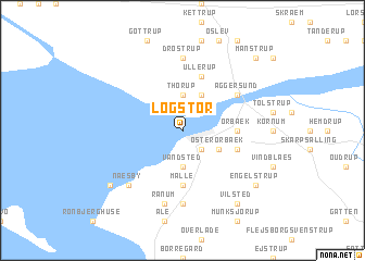
Løgstør (Nordjylland, Denmark)Løgstør is a town in the Nordjylland region of Denmark. An overview map of the region around Løgstør is displayed below.
regional and 3d topo map of Løgstør, Denmark ::
Løgstør airports ::
The nearest airport is TED - Thisted, located 35.0 km west of Løgstør.
Other airports nearby include AAL - Aalborg (39.0 km east), KRP - Karup (74.9 km south), AAR - Aarhus (112.1 km south east), STA - Stauning (122.0 km south west), Nearby towns ::
Ravnstrup (2.1km south east) //
Thorup (3.7km north) //
Løgsted (3.7km south) //
Vandsted (3.7km south) //
Øster Ørbæk (2.7km south east) //
Aggersborg (3.8km north) //
Malle (5.6km south) //
Ørbæk (3.0km east) //
Mjallerup (3.6km south east) //
Ullerup (5.7km north) //
Aggersund (4.8km north east) //
Drøstrup (7.4km north) //
Brøttrup (7.4km south) //
Ranum (7.5km south) //
Næsby (6.3km south west) //
Lendrup Strand (6.9km south west) //
Engelstrup (6.9km south east) //
Vilsted (8.0km south) //
Manstrup (8.4km north east) //
[all distances 'as the bird flies' and approximate] 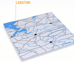 Places with similar names to Løgstør, Denmark ::
// Łąkie Stare (PL)
// La Costera (ES)
// Llagostera (ES)
// Lackey Store (US)
// La Cazadora (VE)
// Löksätter (SE)
// Lago Izidoro (BR)
// La Cassotière (FR)
// Le Castéra (FR)
// Lextra (FR)
Disclaimer :: Information on this page comes without warranty of any kind |
||
|
Where is Løgstør? Elevation and coordinates ::
Latitude (lat): 56°58'0"N Longitude (lon): 9°15'0"E
Elevation (approx.): 4m (map arrows pan, magnifying glasses zoom) |
||
|
Visiting Løgstør? Hotel/Accommodation ::
Book a hotel in Løgstør Travel Guide ::
Buy a travel guide for Denmark rental cars ::
car rental offers GPS waypoint ::
download a GPX waypoint (PoI) of Løgstør for your GPS receiver
|
||