|
search place name
|
||
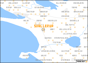
Svallerup (Vestsjælland, Denmark)Svallerup is a town in the Vestsjælland region of Denmark. An overview map of the region around Svallerup is displayed below.
regional and 3d topo map of Svallerup, Denmark ::
Svallerup airports ::
The nearest airport is ODE - Odense, located 56.0 km west of Svallerup.
Other airports nearby include RKE - Copenhagen Roskilde (59.9 km east), AAR - Aarhus (83.9 km north west), CPH - Copenhagen Kastrup (92.8 km east), JLD - Landskrona (111.9 km east), Nearby towns ::
Yppenbjerg (0.0km north) //
Ugerløse (2.1km north west) //
Frankerup (2.1km north east) //
Ubby (2.1km east) //
Rørby (3.9km north) //
Bjerge (3.9km south) //
Årby (4.3km north west) //
Værslev (4.3km north east) //
Flinterup (4.3km south east) //
Kærby (5.6km north) //
Bastrup (3.6km north west) //
Klovby (3.6km north east) //
Ubberup (7.4km north) //
Jerslev (4.2km east) //
Ornum (7.4km south) //
Andaks (7.5km north) //
Tømmerup (7.5km north) //
Asmindrup (7.5km north) //
Tystrup (6.4km south east) //
Melby (5.6km north west) //
Spangsbro (7.7km north) //
Forsinge (5.6km north east) //
Store Fuglede (5.6km south east) //
Kåstrup (8.0km north west) //
Bakkendrup (7.0km south east) //
[all distances 'as the bird flies' and approximate] 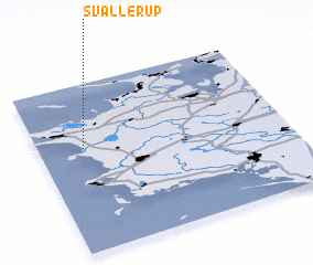 Places with similar names to Svallerup, Denmark ::
// Svallarp (SE)
Disclaimer :: Information on this page comes without warranty of any kind |
||
|
Where is Svallerup? Elevation and coordinates ::
Latitude (lat): 55°37'0"N Longitude (lon): 11°11'0"E
Elevation (approx.): 28m (map arrows pan, magnifying glasses zoom) |
||
|
Visiting Svallerup? Hotel/Accommodation ::
Book a hotel in Svallerup Travel Guide ::
Buy a travel guide for Denmark rental cars ::
car rental offers GPS waypoint ::
download a GPX waypoint (PoI) of Svallerup for your GPS receiver
|
||