|
search place name
|
||
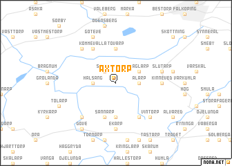
Axtorp ((( Älvsborg )), Sweden)Axtorp is a town in the (( Älvsborg )) region of Sweden. An overview map of the region around Axtorp is displayed below.
regional and 3d topo map of Axtorp, Sweden ::
Axtorp airports ::
The nearest airport is LDK - Lidkoping, located 47.3 km north of Axtorp.
Other airports nearby include JKG - Joenkoeping Jonkoping (50.3 km south east), KVB - Skovde (53.2 km north east), THN - Trollhattan Vanersborg (70.8 km north west), GOT - Gothenborg Landvetter (82.7 km south west), Nearby towns ::
Skånum (2.1km north west) //
Halsäng (2.0km west) //
Alarp (2.0km east) //
Naglarp (2.7km north east) //
Brismene (5.6km south) //
Tovarp (5.6km north) //
Sånnarp (5.6km south) //
Sandhem (5.9km south) //
Kommevalla (5.9km north) //
Ekarp (7.4km south) //
Kinneved (3.9km east) //
Kinnarp (3.9km east) //
Lagerstorp (3.9km east) //
Slutarp (4.3km north east) //
Ekersgärdet (6.3km south west) //
Vintorp (6.3km south east) //
Estorp (6.3km north west) //
Göteve (7.7km north) //
Döve (8.0km south) //
[all distances 'as the bird flies' and approximate] 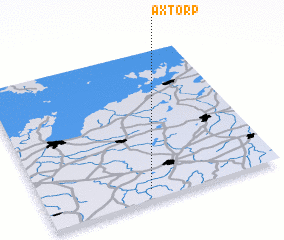
Disclaimer :: Information on this page comes without warranty of any kind |
||
|
Where is Axtorp? Elevation and coordinates ::
Latitude (lat): 58°4'0"N Longitude (lon): 13°27'0"E
Elevation (approx.): 199m (map arrows pan, magnifying glasses zoom) |
||
|
Visiting Axtorp? Hotel/Accommodation ::
Book a hotel in Axtorp Travel Guide ::
Buy a travel guide for Sweden rental cars ::
car rental offers GPS waypoint ::
download a GPX waypoint (PoI) of Axtorp for your GPS receiver
|
||