|
search place name
|
||
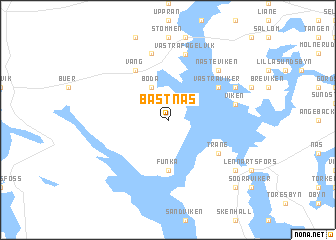
Båstnäs (Värmland, Sweden)Båstnäs is a town in the Värmland region of Sweden. An overview map of the region around Båstnäs is displayed below.
regional and 3d topo map of Båstnäs, Sweden ::
Båstnäs airports ::
The nearest airport is TRF - Torp, located 92.0 km west of Båstnäs.
Other airports nearby include OSL - Oslo Gardermoen (100.9 km north west), THN - Trollhattan Vanersborg (120.5 km south), LDK - Lidkoping (126.7 km south east), GSE - Gothenborg Save (177.3 km south), Nearby towns ::
Boda (3.8km north) //
Funka (5.6km south) //
Väng (5.9km north) //
Västra Viker (4.7km north east) //
Trane (4.7km south east) //
Västra Fågelvik (7.4km north) //
Viken (4.2km north east) //
Flötane (7.5km north) //
Bruntorp (7.5km north) //
Tarm (7.5km north) //
Nästeviken (6.2km north east) //
Östra Viker (5.3km north east) //
Laxvik (6.7km south east) //
Källsbyn (8.3km south east) //
Gunnarsbyn (8.3km south east) //
[all distances 'as the bird flies' and approximate] 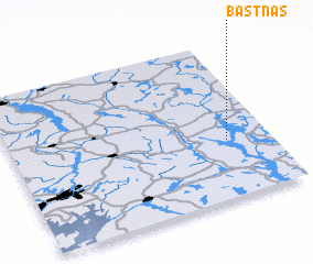 Places with similar names to Båstnäs, Sweden ::
Disclaimer :: Information on this page comes without warranty of any kind |
||
|
Where is Båstnäs? Elevation and coordinates ::
Latitude (lat): 59°22'0"N Longitude (lon): 11°50'0"E
Elevation (approx.): 130m (map arrows pan, magnifying glasses zoom) |
||
|
Visiting Båstnäs? Hotel/Accommodation ::
Book a hotel in Båstnäs Travel Guide ::
Buy a travel guide for Sweden rental cars ::
car rental offers GPS waypoint ::
download a GPX waypoint (PoI) of Båstnäs for your GPS receiver
|
||