|
search place name
|
||
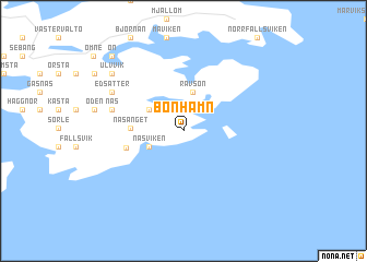
Bönhamn (Västernorrland, Sweden)Bönhamn is a town in the Västernorrland region of Sweden. An overview map of the region around Bönhamn is displayed below.
regional and 3d topo map of Bönhamn, Sweden ::
Bönhamn airports ::
The nearest airport is KRF - Kramfors Solleftea, located 39.2 km north west of Bönhamn.
Other airports nearby include SDL - Sundsvall Harnosand (64.7 km south west), OER - Ornskoldsvik (64.8 km north east), UME - Umea (136.9 km north east), HUV - Hudiksvall (142.9 km south west), Nearby towns ::
Näsviken (2.3km south west) //
Rävsön (4.0km north) //
Älgsjö (2.7km north west) //
Näsänget (2.5km west) //
Barstahamn (3.2km south west) //
Näs (3.9km north west) //
Edsätter (5.2km north west) //
Salberg (6.7km north west) //
Ulvvik (6.7km north west) //
Ön (8.4km north west) //
[all distances 'as the bird flies' and approximate] 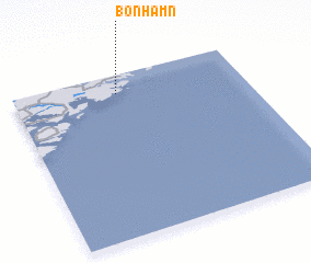 Places with similar names to Bönhamn, Sweden ::
// Ban Huai Manao (TH)
// Ban Huai Men (TH)
// Ban Huai Mun (TH)
// Ban Huai Mun (TH)
// Ban Huai Mun (TH)
// Ban Hua Mi Na (TH)
// Ban Hua Mon (TH)
// Ban Houayman (LA)
// Ban Houayman (LA)
// Ban Houaymanai (LA)
Disclaimer :: Information on this page comes without warranty of any kind |
||
|
Where is Bönhamn? Elevation and coordinates ::
Latitude (lat): 62°52'51"N Longitude (lon): 18°26'55"E
(map arrows pan, magnifying glasses zoom) |
||
|
Visiting Bönhamn? Hotel/Accommodation ::
Book a hotel in Bönhamn Travel Guide ::
Buy a travel guide for Sweden rental cars ::
car rental offers GPS waypoint ::
download a GPX waypoint (PoI) of Bönhamn for your GPS receiver
|
||