|
search place name
|
||
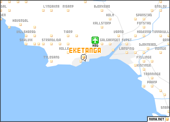
Eketånga (Halland, Sweden)Eketånga is a town in the Halland region of Sweden. An overview map of the region around Eketånga is displayed below.
regional and 3d topo map of Eketånga, Sweden ::
nearby GPS traces from timatio ::
Eketånga airports ::
The nearest airport is HAD - Halmstad, located 4.7 km north of Eketånga.
Other airports nearby include JLD - Landskrona (78.7 km south), KID - Kristianstad (113.6 km south east), CPH - Copenhagen Kastrup (115.3 km south), GOT - Gothenborg Landvetter (117.1 km north), Nearby towns ::
Långenäs (0.5km west) //
Söndrum (1.9km north) //
Möllegård (2.8km north west) //
Karlsro (4.2km north east) //
Fammarp (4.2km north west) //
Mjällby (4.2km north west) //
Gränstorpet (5.7km north) //
Halmstad (4.1km north east) //
Galgberget (4.8km north east) //
Onsjö (4.8km north west) //
Täppet (5.9km north) //
Tiarp (5.9km north) //
Tylösand (4.1km west) //
Källstorp (7.7km north) //
Frösakull (5.5km north west) //
Strandlida (5.5km north west) //
Vapnö (6.9km north east) //
Kärleken (6.9km north east) //
Kårarp (6.9km north east) //
Slottsmöllan (6.9km north east) //
Gullbrandstorp (6.9km north west) //
[all distances 'as the bird flies' and approximate] 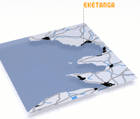 Places with similar names to Eketånga, Sweden ::
Disclaimer :: Information on this page comes without warranty of any kind |
||
|
Where is Eketånga? Elevation and coordinates ::
Latitude (lat): 56°39'0"N Longitude (lon): 12°48'0"E
Elevation (approx.): -32768m (map arrows pan, magnifying glasses zoom) |
||
|
Visiting Eketånga? Hotel/Accommodation ::
Book a hotel in Eketånga Travel Guide ::
Buy a travel guide for Sweden rental cars ::
car rental offers GPS waypoint ::
download a GPX waypoint (PoI) of Eketånga for your GPS receiver
|
||