|
search place name
|
||
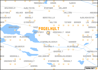
Fågelhult (Jönköping, Sweden)Fågelhult is a town in the Jönköping region of Sweden. An overview map of the region around Fågelhult is displayed below.
regional and 3d topo map of Fågelhult, Sweden ::
Fågelhult airports ::
The nearest airport is HLF - Hultsfred, located 25.5 km east of Fågelhult.
Other airports nearby include OSK - Oskarshamn (69.6 km east), VXO - Vaxjo Kronoberg (80.2 km south west), JKG - Joenkoeping Jonkoping (82.8 km west), LPI - Linkoeping Saab (96.8 km north), Nearby towns ::
Ebbarp (2.1km north east) //
Stora Bjälkerum (3.7km south) //
Kråkshult (2.0km east) //
Perstorp (2.0km west) //
Lilla Bjälkerum (3.8km south) //
Svenstorp (2.7km north west) //
Hultna (3.8km north) //
Näs (4.2km south east) //
Skalla Funghult (4.2km north east) //
Knivshult (5.6km south) //
Borstrulla (5.6km north) //
Husnäs (5.9km south) //
Funghult (4.8km north east) //
Klackenhult (7.4km south) //
Heda (4.0km east) //
Idekulla (6.3km north west) //
Överhult (7.7km south) //
Totarp (5.4km north east) //
Bellö (5.4km north west) //
Gynnesnöt (5.4km north west) //
Nyboda (6.8km south east) //
Marhult (6.8km north west) //
Vallnäs (8.4km north east) //
Börsebo (8.4km north west) //
[all distances 'as the bird flies' and approximate] 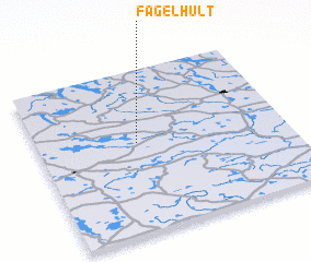 Places with similar names to Fågelhult, Sweden :: Disclaimer :: Information on this page comes without warranty of any kind |
||
|
Where is Fågelhult? Elevation and coordinates ::
Latitude (lat): 57°33'0"N Longitude (lon): 15°24'0"E
Elevation (approx.): 255m (map arrows pan, magnifying glasses zoom) |
||
|
Visiting Fågelhult? Hotel/Accommodation ::
Book a hotel in Fågelhult Travel Guide ::
Buy a travel guide for Sweden rental cars ::
car rental offers GPS waypoint ::
download a GPX waypoint (PoI) of Fågelhult for your GPS receiver
|
||