|
search place name
|
||
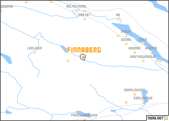
Finnåberg (Västernorrland, Sweden)Finnåberg is a town in the Västernorrland region of Sweden. An overview map of the region around Finnåberg is displayed below.
regional and 3d topo map of Finnåberg, Sweden ::
Finnåberg airports ::
The nearest airport is KRF - Kramfors Solleftea, located 52.3 km east of Finnåberg.
Other airports nearby include SDL - Sundsvall Harnosand (79.1 km south east), HUV - Hudiksvall (156.7 km south), VHM - Vilhelmina (157.5 km north), LYC - Lycksele (181.4 km north east), Nearby towns ::
Helgumsbodarna (1.7km west) //
Helgumsbyn (6.5km north east) //
[all distances 'as the bird flies' and approximate] 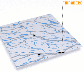 Places with similar names to Finnåberg, Sweden ::
// Vineburg (US)
// Feienberg (DE)
// Vennberg (DE)
// Vennebrügge (DE)
// Vinnbrück (DE)
// Fennbierg (LU)
// Fawn Brook (US)
// Venebrugge (NL)
// Vannborga (SE)
// Vanneberga (SE)
Disclaimer :: Information on this page comes without warranty of any kind |
||
|
Where is Finnåberg? Elevation and coordinates ::
Latitude (lat): 63°10'0"N Longitude (lon): 16°46'0"E
(map arrows pan, magnifying glasses zoom) |
||
|
Visiting Finnåberg? Hotel/Accommodation ::
Book a hotel in Finnåberg Travel Guide ::
Buy a travel guide for Sweden rental cars ::
car rental offers GPS waypoint ::
download a GPX waypoint (PoI) of Finnåberg for your GPS receiver
|
||