|
search place name
|
||
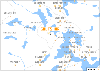
Galtskär (Värmland, Sweden)Galtskär is a town in the Värmland region of Sweden. An overview map of the region around Galtskär is displayed below.
regional and 3d topo map of Galtskär, Sweden ::
Galtskär airports ::
The nearest airport is KSK - Karlskoga, located 21.4 km south east of Galtskär.
Other airports nearby include ORB - Orebro (54.1 km south east), KVB - Skovde (115.4 km south), BLE - Borlange (126.8 km north east), LDK - Lidkoping (128.7 km south west), Nearby towns ::
Sjötorp (0.9km east) //
Stockviken (2.1km south east) //
Släbråten (2.1km north east) //
Bäck (4.2km north east) //
Lövnästorp (3.4km south east) //
Mosserud (3.4km north east) //
Lungsundet (4.7km north west) //
Storfors (5.9km north) //
Näset (7.5km south) //
Bergsjö (7.5km south) //
Lundsberg (4.2km north west) //
Lövnäset (4.2km south east) //
Råglanda (4.2km north east) //
Rönningen (6.2km north east) //
Bredsäter (5.3km south east) //
Vägen (5.3km north east) //
Granviken (7.9km south) //
Ullvätterstorp (6.7km south east) //
Smedstorp (8.3km south east) //
[all distances 'as the bird flies' and approximate] 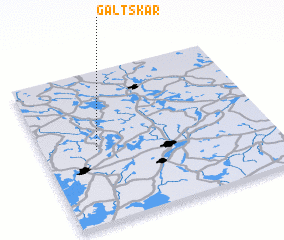 Places with similar names to Galtskär, Sweden ::
Disclaimer :: Information on this page comes without warranty of any kind |
||
|
Where is Galtskär? Elevation and coordinates ::
Latitude (lat): 59°29'0"N Longitude (lon): 14°14'0"E
Elevation (approx.): 115m (map arrows pan, magnifying glasses zoom) |
||
|
Visiting Galtskär? Hotel/Accommodation ::
Book a hotel in Galtskär Travel Guide ::
Buy a travel guide for Sweden rental cars ::
car rental offers GPS waypoint ::
download a GPX waypoint (PoI) of Galtskär for your GPS receiver
|
||