|
search place name
|
||
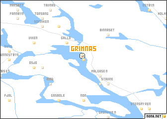
Grimnäs (Jämtland, Sweden)Grimnäs is a town in the Jämtland region of Sweden. An overview map of the region around Grimnäs is displayed below.
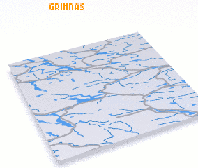
regional and 3d topo map of Grimnäs, Sweden ::
Grimnäs airports ::
The nearest airport is OSD - Ostersund Froson, located 51.9 km north west of Grimnäs.
Other airports nearby include EVG - Sveg (102.8 km south west), HUV - Hudiksvall (155.8 km south east), VHM - Vilhelmina (204.3 km north), MXX - Mora (218.2 km south), Nearby towns ::
 Places with similar names to Grimnäs, Sweden ::
// Crémines (CH)
// Garmanns (AT)
// Garmanns (AT)
// Grimmens (DE)
// Krummensee (DE)
// Krummensee (DE)
// Kormanice (PL)
// Karamanići (BA)
// Kremenuša (BA)
// Krimūnas (LV)
Disclaimer :: Information on this page comes without warranty of any kind |
||
|
Where is Grimnäs? Elevation and coordinates ::
Latitude (lat): 62°53'0"N Longitude (lon): 15°16'0"E
(map arrows pan, magnifying glasses zoom) |
||
|
Visiting Grimnäs? Hotel/Accommodation ::
Book a hotel in Grimnäs Travel Guide ::
Buy a travel guide for Sweden rental cars ::
car rental offers GPS waypoint ::
download a GPX waypoint (PoI) of Grimnäs for your GPS receiver
|
||