|
search place name
|
||
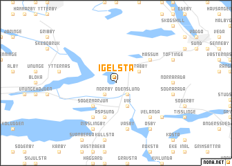
Igelsta (Stockholm, Sweden)Igelsta is a town in the Stockholm region of Sweden. An overview map of the region around Igelsta is displayed below.
regional and 3d topo map of Igelsta, Sweden ::
Igelsta airports ::
The nearest airport is ARN - Stockholm Arlanda, located 52.9 km south west of Igelsta.
Other airports nearby include MHQ - Mariehamn (70.6 km east), BMA - Stockholm Bromma (75.9 km south west), GVX - Gavle (122.7 km north west), NYO - Stockholm Skavsta (161.7 km south west), Nearby towns ::
Norrby (2.1km south west) //
Åby (2.1km south east) //
Odenslund (2.1km south east) //
Stabby (2.6km north east) //
Ekeby (2.6km north east) //
Vik (3.8km south) //
Södermarjum (4.1km south west) //
Norrmarjum (4.1km south west) //
Aspsund (5.6km south) //
Alby (5.9km south) //
Massum (4.6km north east) //
Väsby (7.5km south) //
Velända (6.2km south east) //
Risslingby (7.6km south) //
Bredsätra (6.7km south east) //
Ösby (7.9km south) //
Ekeby (7.9km south) //
[all distances 'as the bird flies' and approximate] 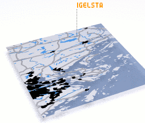
Disclaimer :: Information on this page comes without warranty of any kind |
||
|
Where is Igelsta? Elevation and coordinates ::
Latitude (lat): 59°55'0"N Longitude (lon): 18°42'0"E
Elevation (approx.): 38m (map arrows pan, magnifying glasses zoom) |
||
|
Visiting Igelsta? Hotel/Accommodation ::
Book a hotel in Igelsta Travel Guide ::
Buy a travel guide for Sweden rental cars ::
car rental offers GPS waypoint ::
download a GPX waypoint (PoI) of Igelsta for your GPS receiver
|
||