|
search place name
|
||
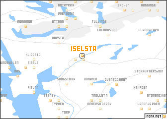
Iselsta (Stockholm, Sweden)Iselsta is a town in the Stockholm region of Sweden. An overview map of the region around Iselsta is displayed below.
regional and 3d topo map of Iselsta, Sweden ::
Iselsta airports ::
The nearest airport is BMA - Stockholm Bromma, located 25.2 km north of Iselsta.
Other airports nearby include ARN - Stockholm Arlanda (57.9 km north), NYO - Stockholm Skavsta (66.2 km south west), VST - Vasteras (85.8 km north west), NRK - Norrkoeping Kungsangen (110.6 km south west), Nearby towns ::
Råby (0.0km north) //
Norga (1.0km west) //
Vinaren (5.6km south) //
Skogstorp (5.9km south) //
Norra Stutby (5.9km south) //
Vårsta (4.7km north west) //
Västerby (6.2km south east) //
Eklundshov (6.2km north east) //
Tullinge (7.7km north) //
Tumba (7.7km north) //
Lundby (6.7km south east) //
Uttran (7.9km north) //
Över Söderby (6.8km south east) //
Österby (6.8km south east) //
[all distances 'as the bird flies' and approximate] 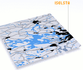 Places with similar names to Iselsta, Sweden ::
// Isăileşti (RO)
Disclaimer :: Information on this page comes without warranty of any kind |
||
|
Where is Iselsta? Elevation and coordinates ::
Latitude (lat): 59°8'0"N Longitude (lon): 17°51'0"E
Elevation (approx.): 43m (map arrows pan, magnifying glasses zoom) |
||
|
Visiting Iselsta? Hotel/Accommodation ::
Book a hotel in Iselsta Travel Guide ::
Buy a travel guide for Sweden rental cars ::
car rental offers GPS waypoint ::
download a GPX waypoint (PoI) of Iselsta for your GPS receiver
|
||