|
search place name
|
||
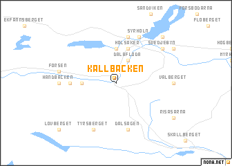
Källbäcken (Dalarna, Sweden)Källbäcken is a town in the Dalarna region of Sweden. An overview map of the region around Källbäcken is displayed below.
regional and 3d topo map of Källbäcken, Sweden ::
Källbäcken airports ::
The nearest airport is BLE - Borlange, located 41.3 km east of Källbäcken.
Other airports nearby include MXX - Mora (58.3 km north), KSK - Karlskoga (123.9 km south), ORB - Orebro (137.5 km south), VST - Vasteras (141.5 km south east), Nearby towns ::
Dala-Floda (3.8km north) //
Floda (5.6km north) //
Gåsholmen (2.7km west) //
Holsåker (5.6km north) //
Forsgärdet (5.6km north) //
Björbo (3.7km west) //
Mossel (7.5km north) //
Dalsågen (7.5km south) //
Syrholn (7.6km north) //
Tyrsberget (7.6km south) //
Hagen (6.7km north east) //
Svedjebyn (6.7km north east) //
Backbyn (8.3km north east) //
[all distances 'as the bird flies' and approximate] 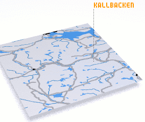 Places with similar names to Källbäcken, Sweden ::
// Calabgan (PH)
// Calubacan (PH)
// Gölebakan (TR)
// Kulebakino (RU)
// Kalabakan (MY)
// Kūl Bākūn (IR)
// Kalabougouni (ML)
// Caille Boucan (HT)
// Kalbugan (PH)
// Kilbeggan (IE)
Disclaimer :: Information on this page comes without warranty of any kind |
||
|
Where is Källbäcken? Elevation and coordinates ::
Latitude (lat): 60°27'0"N Longitude (lon): 14°46'0"E
(map arrows pan, magnifying glasses zoom) |
||
|
Visiting Källbäcken? Hotel/Accommodation ::
Book a hotel in Källbäcken Travel Guide ::
Buy a travel guide for Sweden rental cars ::
car rental offers GPS waypoint ::
download a GPX waypoint (PoI) of Källbäcken for your GPS receiver
|
||