|
search place name
|
||
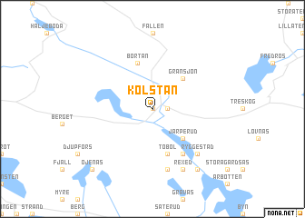
Kolstan (Värmland, Sweden)Kolstan is a town in the Värmland region of Sweden. An overview map of the region around Kolstan is displayed below.
regional and 3d topo map of Kolstan, Sweden ::
Kolstan airports ::
The nearest airport is OSL - Oslo Gardermoen, located 86.2 km north west of Kolstan.
Other airports nearby include KSK - Karlskoga (126.7 km south east), LDK - Lidkoping (162.3 km south), MXX - Mora (162.5 km north east), THN - Trollhattan Vanersborg (174.6 km south), Nearby towns ::
Allstakan (0.0km north) //
Kålstad (0.0km north) //
Tvärud (0.9km east) //
Klanderud (0.9km east) //
Berga (4.1km south east) //
Järperud (4.1km south east) //
Gränsjön (4.2km north east) //
Tobol (5.6km south) //
Grötvål (5.6km south) //
Bortan (5.7km north) //
Gunnarskog (5.8km south) //
Backsjöbotten (7.4km south) //
Ryggestad (6.2km south east) //
Backa (6.2km south east) //
Rexed (7.6km south) //
Stommen (7.9km south) //
Öjenäs (8.3km south west) //
[all distances 'as the bird flies' and approximate] 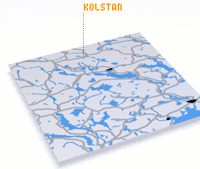 Places with similar names to Kolstan, Sweden ::
Disclaimer :: Information on this page comes without warranty of any kind |
||
|
Where is Kolstan? Elevation and coordinates ::
Latitude (lat): 59°52'59"N Longitude (lon): 12°31'0"E
Elevation (approx.): 119m (map arrows pan, magnifying glasses zoom) |
||
|
Visiting Kolstan? Hotel/Accommodation ::
Book a hotel in Kolstan Travel Guide ::
Buy a travel guide for Sweden rental cars ::
car rental offers GPS waypoint ::
download a GPX waypoint (PoI) of Kolstan for your GPS receiver
|
||