|
search place name
|
||
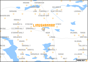
Lindshammar (Sweden)Lindshammar is a town in Sweden. An overview map of the region around Lindshammar is displayed below.
regional and 3d topo map of Lindshammar, Sweden ::
Lindshammar airports ::
The nearest airport is VXO - Vaxjo Kronoberg, located 40.4 km south west of Lindshammar.
Other airports nearby include HLF - Hultsfred (53.9 km north east), OSK - Oskarshamn (83.6 km east), JKG - Joenkoeping Jonkoping (87.8 km north west), KLR - Kalkmar Kalmar (91.8 km south east), Nearby towns ::
Heda (2.1km south east) //
Boestad (4.2km south east) //
Lindås (4.2km south east) //
Granshult (3.0km west) //
Stockatorp (5.6km north) //
Milletorp (3.5km north east) //
Stockseryd (3.5km north west) //
Flohult (5.9km north) //
Yxanshult (7.4km north) //
Bockaberg (7.5km north) //
Knixhult (7.5km north) //
Ängelholm (7.5km south) //
Notteberg (7.7km north) //
Lida (7.7km north) //
Bränderyd (5.5km south west) //
Skruv (7.7km south) //
Skäftesfall (8.0km north) //
Harshult (8.4km south west) //
[all distances 'as the bird flies' and approximate] 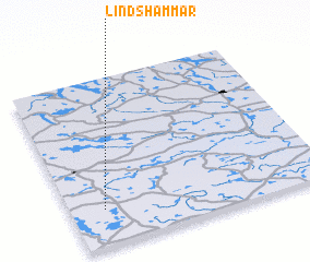 Places with similar names to Lindshammar, Sweden :: Disclaimer :: Information on this page comes without warranty of any kind |
||
|
Where is Lindshammar? Elevation and coordinates ::
Latitude (lat): 57°13'0"N Longitude (lon): 15°8'0"E
Elevation (approx.): 272m (map arrows pan, magnifying glasses zoom) |
||
|
Visiting Lindshammar? Hotel/Accommodation ::
Book a hotel in Lindshammar Travel Guide ::
Buy a travel guide for Sweden rental cars ::
car rental offers GPS waypoint ::
download a GPX waypoint (PoI) of Lindshammar for your GPS receiver
|
||