|
search place name
|
||
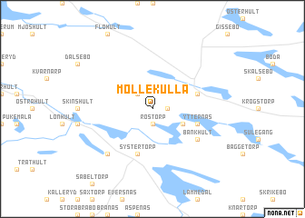
Möllekulla (Kalmar, Sweden)Möllekulla is a town in the Kalmar region of Sweden. An overview map of the region around Möllekulla is displayed below.
regional and 3d topo map of Möllekulla, Sweden ::
Möllekulla airports ::
The nearest airport is OSK - Oskarshamn, located 19.4 km south east of Möllekulla.
Other airports nearby include HLF - Hultsfred (26.0 km west), KLR - Kalkmar Kalmar (85.2 km south), VXO - Vaxjo Kronoberg (107.9 km south west), LPI - Linkoeping Saab (111.4 km north), Nearby towns ::
Dabbekulla (1.0km east) //
Röstorp (1.9km south) //
Mellingerum (2.1km north west) //
Kalerum (2.7km south east) //
Systertorp (5.6km south) //
Malghult (5.6km south) //
Ishult (3.5km north east) //
Ytternäs (3.5km south east) //
Bankhult (4.8km south east) //
Kristdala (6.3km south west) //
[all distances 'as the bird flies' and approximate] 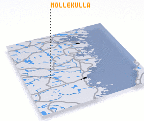 Places with similar names to Möllekulla, Sweden ::
// Mawlaikkale (MM)
// Mèlako-alè (MM)
// Mǝlikli (AZ)
// Mǝlikli (AZ)
// Melikli (AZ)
// Melikli (AZ)
// Mülkülü (AZ)
// Milkel (DE)
// Mäliküla (EE)
// Mala Kula (BA)
Disclaimer :: Information on this page comes without warranty of any kind |
||
|
Where is Möllekulla? Elevation and coordinates ::
Latitude (lat): 57°27'0"N Longitude (lon): 16°14'0"E
Elevation (approx.): 85m (map arrows pan, magnifying glasses zoom) |
||
|
Visiting Möllekulla? Hotel/Accommodation ::
Book a hotel in Möllekulla Travel Guide ::
Buy a travel guide for Sweden rental cars ::
car rental offers GPS waypoint ::
download a GPX waypoint (PoI) of Möllekulla for your GPS receiver
|
||