|
search place name
|
||
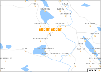
Södra Skoga (Värmland, Sweden)Södra Skoga is a town in the Värmland region of Sweden. An overview map of the region around Södra Skoga is displayed below.
regional and 3d topo map of Södra Skoga, Sweden ::
Södra Skoga airports ::
The nearest airport is KSK - Karlskoga, located 94.9 km south east of Södra Skoga.
Other airports nearby include MXX - Mora (117.1 km north east), ORB - Orebro (125.2 km south east), LDK - Lidkoping (175.6 km south), KVB - Skovde (177.7 km south), Nearby towns ::
Skogaängarna (2.6km south west) //
Gunnerud (4.1km north east) //
Norra Skoga (4.1km north west) //
Västra Hedetorp (5.6km south) //
Lakene (5.6km south) //
Edebäck (4.6km north east) //
Sörby (7.5km south) //
Forshult (7.5km south) //
Myren (7.9km south) //
Överberga (7.9km north) //
Ämtbjörk (7.9km north) //
Myra (8.3km south east) //
[all distances 'as the bird flies' and approximate] 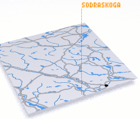 Places with similar names to Södra Skoga, Sweden ::
Disclaimer :: Information on this page comes without warranty of any kind |
||
|
Where is Södra Skoga? Elevation and coordinates ::
Latitude (lat): 60°2'0"N Longitude (lon): 13°30'0"E
(map arrows pan, magnifying glasses zoom) |
||
|
Visiting Södra Skoga? Hotel/Accommodation ::
Book a hotel in Södra Skoga Travel Guide ::
Buy a travel guide for Sweden rental cars ::
car rental offers GPS waypoint ::
download a GPX waypoint (PoI) of Södra Skoga for your GPS receiver
|
||