|
search place name
|
||
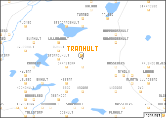
Tranhult (Jönköping, Sweden)Tranhult is a town in the Jönköping region of Sweden. An overview map of the region around Tranhult is displayed below.
regional and 3d topo map of Tranhult, Sweden ::
Tranhult airports ::
The nearest airport is JKG - Joenkoeping Jonkoping, located 33.2 km north east of Tranhult.
Other airports nearby include VXO - Vaxjo Kronoberg (81.4 km south east), GOT - Gothenborg Landvetter (96.1 km west), HAD - Halmstad (108.1 km south west), KVB - Skovde (108.6 km north), Nearby towns ::
Voxtorp (1.9km south) //
Granstorp (2.7km south west) //
Stora Öjhult (3.0km west) //
Öjhult (3.5km north west) //
Hestra (5.9km south) //
Lilla Öjhult (4.8km north west) //
Ingarp (7.4km south) //
Håkentorp (7.4km south) //
Sandsebo (7.4km north) //
Basseberg (4.4km south east) //
Berg (7.7km south) //
Stengårdshult (7.7km north) //
Kylås (5.4km south east) //
Södra Mosshult (5.4km north east) //
Norra Mosshult (6.8km north east) //
Gimmarp (8.4km south east) //
Vipparp (8.4km south east) //
[all distances 'as the bird flies' and approximate] 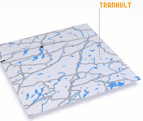
Disclaimer :: Information on this page comes without warranty of any kind |
||
|
Where is Tranhult? Elevation and coordinates ::
Latitude (lat): 57°29'0"N Longitude (lon): 13°51'0"E
Elevation (approx.): 308m (map arrows pan, magnifying glasses zoom) |
||
|
Visiting Tranhult? Hotel/Accommodation ::
Book a hotel in Tranhult Travel Guide ::
Buy a travel guide for Sweden rental cars ::
car rental offers GPS waypoint ::
download a GPX waypoint (PoI) of Tranhult for your GPS receiver
|
||