|
search place name
|
||
Tvetaryd (Kronoberg, Sweden)Tvetaryd is a town in the Kronoberg region of Sweden. An overview map of the region around Tvetaryd is displayed below.
regional and 3d topo map of Tvetaryd, Sweden ::

Tvetaryd airports ::
The nearest airport is VXO - Vaxjo Kronoberg, located 28.5 km north of Tvetaryd.
Other airports nearby include RNB - Ronneby (61.9 km south east), KID - Kristianstad (90.6 km south), KLR - Kalkmar Kalmar (103.4 km east), HAD - Halmstad (109.1 km west), Nearby towns ::
Torne (1.9km north) //
Västra Torsås (2.8km north west) //
Vrankunge (2.8km north east) //
Hunna (3.8km north) //
Flogmyran (4.2km south west) //
Hössön (4.8km south east) //
Torp (4.8km north west) //
Hulevik (7.4km south) //
Skäggalösa (7.5km north) //
Skallekulla (4.5km north west) //
Skatelöv (7.7km north) //
Hårestorp (5.5km north east) //
Grimslöv (6.9km north west) //
Torhult (6.9km south west) //
Lockarör (8.5km north east) //
[all distances 'as the bird flies' and approximate] 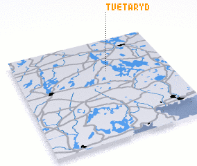 Places with similar names to Tvetaryd, Sweden ::
// Tveitereid (NO)
// Tofteryd (SE)
Disclaimer :: Information on this page comes without warranty of any kind |
||
|
Where is Tvetaryd? Elevation and coordinates ::
Latitude (lat): 56°41'0"N Longitude (lon): 14°36'0"E
Elevation (approx.): 159m (map arrows pan, magnifying glasses zoom) |
||
|
Visiting Tvetaryd? Hotel/Accommodation ::
Book a hotel in Tvetaryd Travel Guide ::
Buy a travel guide for Sweden rental cars ::
car rental offers GPS waypoint ::
download a GPX waypoint (PoI) of Tvetaryd for your GPS receiver
|
||