|
search place name
|
||
Ulvsunda (Stockholm, Sweden)Ulvsunda is a town in the Stockholm region of Sweden. An overview map of the region around Ulvsunda is displayed below.
regional and 3d topo map of Ulvsunda, Sweden ::

nearby GPS traces from timatio ::
Ulvsunda airports ::
The nearest airport is BMA - Stockholm Bromma, located 2.7 km north west of Ulvsunda.
Other airports nearby include ARN - Stockholm Arlanda (35.6 km north), VST - Vasteras (80.8 km west), NYO - Stockholm Skavsta (85.7 km south west), NRK - Norrkoeping Kungsangen (129.1 km south west), Nearby towns ::
Stora Mossen (0.0km north) //
Äppelviken (0.0km north) //
Traneberg (0.9km east) //
Alvik (0.9km east) //
Johannesfred (1.9km north) //
Ulvsunda Industriområde (1.9km north) //
Lillsjönäs (0.9km west) //
Lilla Alby (1.9km north) //
Ekensberg (2.1km south east) //
Stora Essingen (2.1km south east) //
Vinterviken (2.1km south east) //
Aspudden (2.1km south east) //
Sandvik (2.1km north east) //
Ålsten (2.1km south west) //
Smedslätten (2.1km south west) //
Huvudsta (2.1km north east) //
Kristineberg (1.9km east) //
Hägersten (3.7km south) //
Olovslund (1.9km west) //
Sundbyberg (3.7km north) //
Gröndal (2.6km south east) //
Lilla Essingen (2.6km south east) //
Mälarhöjden (3.8km south) //
Höglandet (2.6km south west) //
Råsunda (3.8km north) //
Duvbo (3.8km north) //
Mariehäll (3.8km north) //
Midsommarkransen (4.2km south east) //
Hagalund (4.2km north east) //
[all distances 'as the bird flies' and approximate] 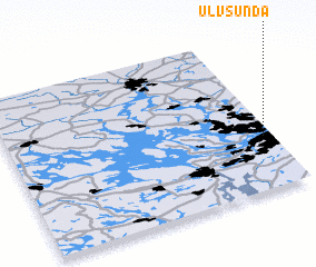 Places with similar names to Ulvsunda, Sweden ::
// Ulvesund (SE)
Disclaimer :: Information on this page comes without warranty of any kind |
||
|
Where is Ulvsunda? Elevation and coordinates ::
Latitude (lat): 59°20'0"N Longitude (lon): 17°58'0"E
Elevation (approx.): 39m (map arrows pan, magnifying glasses zoom) |
||
|
Visiting Ulvsunda? Hotel/Accommodation ::
Book a hotel in Ulvsunda Travel Guide ::
Buy a travel guide for Sweden rental cars ::
car rental offers GPS waypoint ::
download a GPX waypoint (PoI) of Ulvsunda for your GPS receiver
|
||