|
search place name
|
||
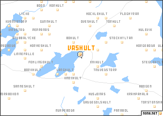
Vashult (Kronoberg, Sweden)Vashult is a town in the Kronoberg region of Sweden. An overview map of the region around Vashult is displayed below.
regional and 3d topo map of Vashult, Sweden ::
Vashult airports ::
The nearest airport is VXO - Vaxjo Kronoberg, located 43.4 km north of Vashult.
Other airports nearby include RNB - Ronneby (59.5 km south east), KID - Kristianstad (75.6 km south), HAD - Halmstad (102.0 km west), KLR - Kalkmar Kalmar (112.5 km east), Nearby towns ::
Tullanäs (2.8km north east) //
Knihult (2.8km south east) //
Bohult (3.8km north) //
Häradsbäck (3.8km south) //
Långhult (4.2km south west) //
Knoxhult (5.7km south) //
Finnanäs (4.8km north east) //
Torbjörnahult (4.8km south west) //
Truvedstorp (4.8km south east) //
Öveshult (7.5km north) //
Brommeshult (6.9km north west) //
Torhult (8.5km north east) //
Gunnhult (8.5km north west) //
[all distances 'as the bird flies' and approximate] 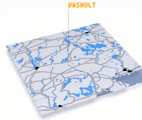
Disclaimer :: Information on this page comes without warranty of any kind |
||
|
Where is Vashult? Elevation and coordinates ::
Latitude (lat): 56°34'0"N Longitude (lon): 14°28'0"E
Elevation (approx.): 174m (map arrows pan, magnifying glasses zoom) |
||
|
Visiting Vashult? Hotel/Accommodation ::
Book a hotel in Vashult Travel Guide ::
Buy a travel guide for Sweden rental cars ::
car rental offers GPS waypoint ::
download a GPX waypoint (PoI) of Vashult for your GPS receiver
|
||