|
search place name
|
||
Idbäcken (Länsi-Suomen Lääni, Finland)Idbäcken is a town in the Länsi-Suomen Lääni region of Finland. An overview map of the region around Idbäcken is displayed below.
regional and 3d topo map of Idbäcken, Finland ::

Idbäcken airports ::
The nearest airport is VAA - Vaasa, located 88.0 km north of Idbäcken.
Other airports nearby include POR - Pori (90.5 km south), KAU - Kauhava (122.4 km north east), KOK - Kruunupyy (180.7 km north east), UME - Umea (182.0 km north), Nearby towns ::
Kullan (0.9km west) //
Ingvesholmen (0.9km west) //
Perus (2.0km south east) //
Nyskiftan (1.7km west) //
Böle (2.5km south east) //
Mittsholmen (2.5km south west) //
Lappfjärd (2.5km south west) //
Lapväärtti (2.5km south west) //
Åbyggändan (3.8km south) //
Flackåsen (4.1km south east) //
Stenbacken (4.1km south west) //
Storängen (3.2km north west) //
Bruskbacken (3.2km north west) //
Sandan (3.4km west) //
Liden (7.5km north) //
Krokängen (6.1km north west) //
Åback (7.6km north) //
Peninkylä (7.6km north) //
Dagsmark (5.1km south east) //
Yrjensbacken (5.1km north west) //
Blomträsk (7.6km south) //
Kasbacken (6.5km north west) //
Påskmark (6.5km north west) //
Puskamarkki (6.5km north west) //
Norrviken (8.2km south east) //
[all distances 'as the bird flies' and approximate] 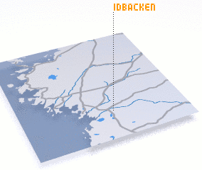 Places with similar names to Idbäcken, Finland ::
// Id Baknia (MA)
Disclaimer :: Information on this page comes without warranty of any kind |
||
|
Where is Idbäcken? Elevation and coordinates ::
Latitude (lat): 62°16'0"N Longitude (lon): 21°34'0"E
(map arrows pan, magnifying glasses zoom) |
||
|
Visiting Idbäcken? Hotel/Accommodation ::
Book a hotel in Idbäcken Travel Guide ::
Buy a travel guide for Finland rental cars ::
car rental offers GPS waypoint ::
download a GPX waypoint (PoI) of Idbäcken for your GPS receiver
|
||