|
search place name
|
||
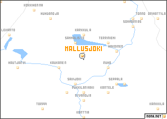
Mallusjoki (Etelä-Suomen Lääni, Finland)Mallusjoki is a town in the Etelä-Suomen Lääni region of Finland. An overview map of the region around Mallusjoki is displayed below.
regional and 3d topo map of Mallusjoki, Finland ::
Mallusjoki airports ::
The nearest airport is HEL - Helsinki Vantaa, located 56.6 km south west of Mallusjoki.
Other airports nearby include HEM - Helsinki Malmi (59.9 km south west), QVY - Utti (75.6 km east), TMP - Tampere Pirkkala (132.9 km north west), KEV - Halli (134.2 km north), Nearby towns ::
Eskola (1.9km north) //
Sammalisto (3.8km north) //
Karkkula (5.6km north) //
Ruha (3.3km south east) //
Savijoki (5.6km south) //
Kaukanen (3.3km south west) //
Terriniemi (4.6km north east) //
Pukkilanmäki (7.4km south) //
Hakoinen (4.1km north east) //
Pukkila (7.6km south) //
Kantele (7.9km south) //
Seppälä (6.6km south east) //
[all distances 'as the bird flies' and approximate] 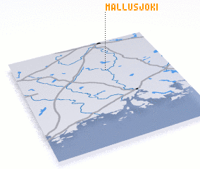 Places with similar names to Mallusjoki, Finland :: Disclaimer :: Information on this page comes without warranty of any kind |
||
|
Where is Mallusjoki? Elevation and coordinates ::
Latitude (lat): 60°43'0"N Longitude (lon): 25°36'0"E
(map arrows pan, magnifying glasses zoom) |
||
|
Visiting Mallusjoki? Hotel/Accommodation ::
Book a hotel in Mallusjoki Travel Guide ::
Buy a travel guide for Finland rental cars ::
car rental offers GPS waypoint ::
download a GPX waypoint (PoI) of Mallusjoki for your GPS receiver
|
||