|
search place name
|
||
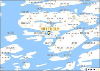
Mattholm (Länsi-Suomen Lääni, Finland)Mattholm is a town in the Länsi-Suomen Lääni region of Finland. An overview map of the region around Mattholm is displayed below.
regional and 3d topo map of Mattholm, Finland ::
Mattholm airports ::
The nearest airport is TKU - Turku, located 29.6 km north of Mattholm.
Other airports nearby include POR - Pori (136.8 km north), TMP - Tampere Pirkkala (150.5 km north east), Nearby towns ::
Västergård (0.9km south) //
Stormälö (0.9km west) //
Fallböle (0.9km east) //
Kopparö (0.9km east) //
Väster Melö (1.8km west) //
Lillmälö (1.8km west) //
Ybbernäs (3.7km north) //
Lilltervo (3.7km south) //
Petteby (3.8km north) //
Lofsdal (2.6km south east) //
Domarby (3.8km south) //
Simonby (3.8km north) //
Sildala (2.6km south east) //
Träskvik (4.7km south) //
Skärmola (4.1km north west) //
Hyvilemp (5.3km north) //
Ontala (4.7km north) //
Tojois (5.5km north) //
Kojkulla (5.5km north) //
Vallis (5.8km north) //
Mågby (5.9km south) //
Ersby (4.6km north east) //
Sunnanberg (6.2km north) //
Mörkby (7.5km north) //
Tara (7.5km north) //
Levo (7.5km north) //
Kurkas (6.0km north east) //
Nulto (5.1km north west) //
Sysilahti (6.2km north east) //
[all distances 'as the bird flies' and approximate]  Places with similar names to Mattholm, Finland ::
// Mitlām (MM)
// Madalum (PH)
// Madalum (PH)
// Midlum (DE)
// Medelim (PT)
// Matalam (PH)
// Matalom (PH)
// Mdolomba (ZA)
// Madiolamba (MG)
// Madiolamba (MG)
Disclaimer :: Information on this page comes without warranty of any kind |
||
|
Where is Mattholm? Elevation and coordinates ::
Latitude (lat): 60°15'0"N Longitude (lon): 22°12'0"E
(map arrows pan, magnifying glasses zoom) |
||
|
Visiting Mattholm? Hotel/Accommodation ::
Book a hotel in Mattholm Travel Guide ::
Buy a travel guide for Finland rental cars ::
car rental offers GPS waypoint ::
download a GPX waypoint (PoI) of Mattholm for your GPS receiver
|
||