|
search place name
|
||
Siikajoki (Oulu, Finland)Siikajoki is a town in the Oulu region of Finland. An overview map of the region around Siikajoki is displayed below.
regional and 3d topo map of Siikajoki, Finland ::

Siikajoki airports ::
The nearest airport is OUL - Oulu, located 31.3 km east of Siikajoki.
Other airports nearby include KEM - Kemi Tornio (105.9 km north), KOK - Kruunupyy (146.0 km south west), RVN - Rovaniemi (199.5 km north), KAU - Kauhava (207.3 km south west), Nearby towns ::
Kirkonkylä (0.0km north) //
Alapää (0.8km east) //
Keskikylä (2.0km south east) //
Turpeenperä (3.8km north) //
Merikylä (4.0km south west) //
[all distances 'as the bird flies' and approximate] 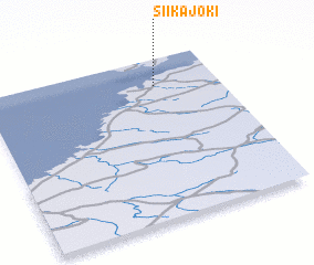 Places with similar names to Siikajoki, Finland ::
Disclaimer :: Information on this page comes without warranty of any kind |
||
|
Where is Siikajoki? Elevation and coordinates ::
Latitude (lat): 64°50'0"N Longitude (lon): 24°44'0"E
(map arrows pan, magnifying glasses zoom) |
||
|
Visiting Siikajoki? Hotel/Accommodation ::
Book a hotel in Siikajoki Travel Guide ::
Buy a travel guide for Finland rental cars ::
car rental offers GPS waypoint ::
download a GPX waypoint (PoI) of Siikajoki for your GPS receiver
|
||