|
search place name
|
||
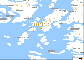
Teersalo (Länsi-Suomen Lääni, Finland)Teersalo is a town in the Länsi-Suomen Lääni region of Finland. An overview map of the region around Teersalo is displayed below.
regional and 3d topo map of Teersalo, Finland ::
Teersalo airports ::
The nearest airport is TKU - Turku, located 31.4 km east of Teersalo.
Other airports nearby include MHQ - Mariehamn (106.8 km west), POR - Pori (111.0 km north), TMP - Tampere Pirkkala (147.6 km north east), Nearby towns ::
Palva (1.8km west) //
Velkua (1.8km west) //
Kainu (2.6km north east) //
Palsala (3.8km north) //
Riihilä (4.3km north east) //
Mikoinen (5.1km north) //
Pohjakylä (3.3km south west) //
Nahkaluoto (4.7km north west) //
Toivainen (5.7km north east) //
Lempisaari (4.1km north east) //
Kaukkonen (6.7km north) //
Livonsaari (6.2km north east) //
Marjustenranta (6.9km north) //
Tuomarainen (6.4km north west) //
Rouhu (8.8km north) //
Kiiainen (8.3km north) //
Kauppinen (9.1km north) //
Vuorlahti (7.6km north east) //
[all distances 'as the bird flies' and approximate] 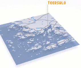 Places with similar names to Teersalo, Finland ::
// Douar Slaoui (MA)
// Trisëly (RU)
// Dörriesloh (DE)
// Dreeßel (DE)
// Dreisel (DE)
// Dresel (DE)
// Trösel (DE)
// Dār Salā (IQ)
// Darzila (IQ)
// Torrozelo (PT)
Disclaimer :: Information on this page comes without warranty of any kind |
||
|
Where is Teersalo? Elevation and coordinates ::
Latitude (lat): 60°28'0"N Longitude (lon): 21°42'0"E
(map arrows pan, magnifying glasses zoom) |
||
|
Visiting Teersalo? Hotel/Accommodation ::
Book a hotel in Teersalo Travel Guide ::
Buy a travel guide for Finland rental cars ::
car rental offers GPS waypoint ::
download a GPX waypoint (PoI) of Teersalo for your GPS receiver
|
||