|
search place name
|
||
Armitage (United Kingdom)Armitage is a town in United Kingdom. An overview map of the region around Armitage is displayed below.
regional and 3d topo map of Armitage, United Kingdom ::

Armitage airports ::
The nearest airport is BHX - Birmingham, located 32.4 km south of Armitage.
Other airports nearby include EMA - Nottingham East Midlands (39.0 km east), CVT - Coventry (48.9 km south east), MAN - Manchester (73.9 km north), CEG - Hawarden (88.7 km north west), Nearby towns ::
Longdon (1.9km south) //
Colton (4.3km north west) //
Farewell (5.7km south) //
Burntwood (5.7km south) //
Pipe Ridware (3.8km north east) //
Rugeley (5.0km north west) //
Hamstall Ridware (5.0km north east) //
Kings Bromley (4.5km east) //
Curborough (4.9km east) //
Abbots Bromley (7.5km north) //
Chasetown (7.7km south) //
Lichfield (7.1km south east) //
[all distances 'as the bird flies' and approximate] 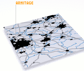
Disclaimer :: Information on this page comes without warranty of any kind |
||
|
Where is Armitage? Elevation and coordinates ::
Latitude (lat): 52°44'0"N Longitude (lon): 1°53'0"W
Elevation (approx.): 90m (map arrows pan, magnifying glasses zoom) |
||
|
Visiting Armitage? Hotel/Accommodation ::
Book a hotel in Armitage Travel Guide ::
rental cars ::
car rental offers GPS waypoint ::
download a GPX waypoint (PoI) of Armitage for your GPS receiver
|
||