|
search place name
|
||
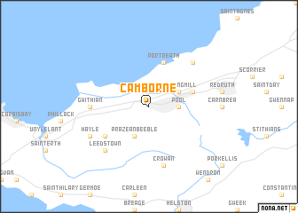
Camborne (United Kingdom)Camborne is a town in United Kingdom. An overview map of the region around Camborne is displayed below.
regional and 3d topo map of Camborne, United Kingdom ::
Camborne airports ::
The nearest airport is NQY - Newquai St Mawgan, located 33.8 km north east of Camborne.
Other airports nearby include PLH - Plymouth (89.2 km east), EXT - Exeter (146.8 km north east), SWS - Swansea (177.7 km north east), CWL - Cardiff (191.2 km north east), Nearby towns ::
Pool (2.4km east) //
Praze an Beeble (3.9km south) //
Tuckingmill (3.0km north east) //
Illogan (4.0km north east) //
Portreath (5.7km north) //
Gwinear (5.1km south west) //
Gwithian (4.7km west) //
Crowan (7.5km south) //
Leedstown (6.6km south west) //
Nancekuke (6.6km north east) //
Hayle (6.0km south west) //
[all distances 'as the bird flies' and approximate] 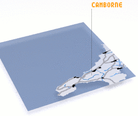 Places with similar names to Camborne, United Kingdom ::
Disclaimer :: Information on this page comes without warranty of any kind |
||
|
Where is Camborne? Elevation and coordinates ::
Latitude (lat): 50°13'0"N Longitude (lon): 5°19'0"W
Elevation (approx.): 82m (map arrows pan, magnifying glasses zoom) |
||
|
Visiting Camborne? Hotel/Accommodation ::
Book a hotel in Camborne Travel Guide ::
rental cars ::
car rental offers GPS waypoint ::
download a GPX waypoint (PoI) of Camborne for your GPS receiver
|
||