|
search place name
|
||
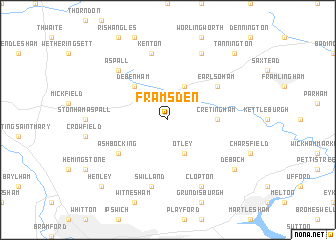
Framsden (United Kingdom)Framsden is a town in United Kingdom. An overview map of the region around Framsden is displayed below.
regional and 3d topo map of Framsden, United Kingdom ::
Framsden airports ::
The nearest airport is BEQ - Honington, located 35.1 km north west of Framsden.
Other airports nearby include MHZ - Mildenhall (53.7 km west), NWI - Norwich (55.0 km north), KNF - Marham (68.8 km north west), CBG - Cambridge (71.3 km west), Nearby towns ::
Otley (3.9km south) //
Ashfield (3.9km north) //
Debenham (4.3km north west) //
Cretingham (3.4km east) //
Ashbocking (5.0km south west) //
Earl Soham (5.0km north east) //
Swilland (7.5km south) //
Kenton (7.5km north) //
Aspall (6.5km north west) //
Clopton (7.8km south) //
Burgh (7.8km south) //
Bedfield (7.8km north) //
Debach (7.2km south east) //
Henley (8.7km south west) //
Tannington (8.7km north east) //
[all distances 'as the bird flies' and approximate] 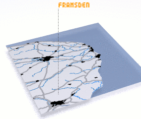 Places with similar names to Framsden, United Kingdom :: Disclaimer :: Information on this page comes without warranty of any kind |
||
|
Where is Framsden? Elevation and coordinates ::
Latitude (lat): 52°11'0"N Longitude (lon): 1°13'0"E
Elevation (approx.): 56m (map arrows pan, magnifying glasses zoom) |
||
|
Visiting Framsden? Hotel/Accommodation ::
Book a hotel in Framsden Travel Guide ::
rental cars ::
car rental offers GPS waypoint ::
download a GPX waypoint (PoI) of Framsden for your GPS receiver
|
||