|
search place name
|
||
Jordans (United Kingdom)Jordans is a town in United Kingdom. An overview map of the region around Jordans is displayed below.
regional and 3d topo map of Jordans, United Kingdom ::

Jordans airports ::
The nearest airport is NHT - Northolt, located 12.6 km south east of Jordans.
Other airports nearby include LHR - London Heathrow (16.0 km south east), LTN - London Luton (34.0 km north east), BBS - Blackbushe (35.8 km south west), FAB - Farnborough (38.5 km south), Nearby towns ::
Chalfont Saint Giles (2.2km north east) //
Chalfont Saint Peter (2.3km east) //
Hedgerley (3.9km south) //
Beaconsfield (3.5km west) //
Fulmer (6.0km south east) //
Chorleywood West (6.5km north east) //
Farnham Royal (7.8km south) //
Amersham (7.8km north) //
Chenies (8.7km north east) //
[all distances 'as the bird flies' and approximate] 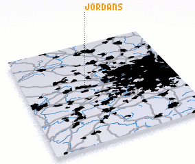 Places with similar names to Jordans, United Kingdom ::
Disclaimer :: Information on this page comes without warranty of any kind |
||
|
Where is Jordans? Elevation and coordinates ::
Latitude (lat): 51°36'0"N Longitude (lon): 0°35'0"W
Elevation (approx.): 87m (map arrows pan, magnifying glasses zoom) |
||
|
Visiting Jordans? Hotel/Accommodation ::
Book a hotel in Jordans Travel Guide ::
rental cars ::
car rental offers GPS waypoint ::
download a GPX waypoint (PoI) of Jordans for your GPS receiver
|
||