|
search place name
|
||
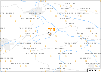
Lyng (United Kingdom)Lyng is a town in United Kingdom. An overview map of the region around Lyng is displayed below.
regional and 3d topo map of Lyng, United Kingdom ::
Lyng airports ::
The nearest airport is YEO - Yeovilton, located 22.3 km east of Lyng.
Other airports nearby include BRS - Bristol (40.4 km north east), CWL - Cardiff (47.4 km north west), EXT - Exeter (47.9 km south west), FZO - Bristol Filton (57.9 km north east), Nearby towns ::
Athelney (1.2km east) //
Stoke Saint Gregory (2.2km south east) //
North Curry (3.9km south) //
North Newton (4.0km north west) //
Fivehead (6.0km south east) //
Curry Mallet (7.4km south) //
Durston (4.7km west) //
Weston Zoyland (7.5km north) //
Middlezoy (6.6km north east) //
Creech Saint Michael (6.0km south west) //
Curry Rivel (6.0km south east) //
Othery (6.0km north east) //
Thorn Falcon (7.3km south west) //
West Hatch (8.2km south west) //
Hatch Beauchamp (8.2km south west) //
Isle Brewers (8.2km south east) //
North Petherton (7.3km north west) //
Bridgwater (8.2km north west) //
Sutton Mallet (8.2km north east) //
[all distances 'as the bird flies' and approximate] 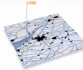 Places with similar names to Lyng, United Kingdom ::
Disclaimer :: Information on this page comes without warranty of any kind |
||
|
Where is Lyng? Elevation and coordinates ::
Latitude (lat): 51°3'0"N Longitude (lon): 2°57'0"W
Elevation (approx.): 5m (map arrows pan, magnifying glasses zoom) |
||
|
Visiting Lyng? Hotel/Accommodation ::
Book a hotel in Lyng Travel Guide ::
rental cars ::
car rental offers GPS waypoint ::
download a GPX waypoint (PoI) of Lyng for your GPS receiver
|
||