|
search place name
|
||
Narborough (United Kingdom)Narborough is a town in United Kingdom. An overview map of the region around Narborough is displayed below.
regional and 3d topo map of Narborough, United Kingdom ::

Narborough airports ::
The nearest airport is CVT - Coventry, located 29.0 km south west of Narborough.
Other airports nearby include EMA - Nottingham East Midlands (30.7 km north), BHX - Birmingham (39.3 km west), WTN - Waddington (80.8 km north east), OXF - Oxford Kidlington (81.6 km south), Nearby towns ::
Enderby (1.9km north) //
Ketteringham (1.1km east) //
Whetstone (1.1km east) //
Hethel (1.9km south) //
Croft (2.9km south west) //
Cosby (3.9km south) //
Braunstone (4.3km north east) //
Blaby (3.4km east) //
Broughton Astley (5.7km south) //
Kirby Muxloe (5.7km north) //
Aylestone (5.0km north east) //
Glenfield (7.4km north) //
Countesthorpe (4.9km east) //
Ashby Magna (7.7km south) //
Stoney Stanton (5.8km south west) //
Sapcote (7.2km south west) //
Leicester (8.7km north east) //
[all distances 'as the bird flies' and approximate] 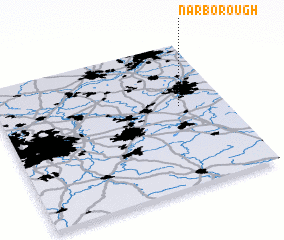 Places with similar names to Narborough, United Kingdom ::
// Narborough (GB)
Disclaimer :: Information on this page comes without warranty of any kind |
||
|
Where is Narborough? Elevation and coordinates ::
Latitude (lat): 52°34'0"N Longitude (lon): 1°12'0"W
Elevation (approx.): 70m (map arrows pan, magnifying glasses zoom) |
||
|
Visiting Narborough? Hotel/Accommodation ::
Book a hotel in Narborough Travel Guide ::
rental cars ::
car rental offers GPS waypoint ::
download a GPX waypoint (PoI) of Narborough for your GPS receiver
|
||