|
search place name
|
||
Risbury (United Kingdom)Risbury is a town in United Kingdom. An overview map of the region around Risbury is displayed below.
regional and 3d topo map of Risbury, United Kingdom ::

Risbury airports ::
The nearest airport is GLO - Golouchestershire Gloucestershire, located 48.3 km south east of Risbury.
Other airports nearby include BHX - Birmingham (68.7 km north east), FZO - Bristol Filton (75.9 km south), CVT - Coventry (83.2 km east), FFD - Fairford (83.4 km south east), Nearby towns ::
Humber (0.0km north) //
Steens Bridge (1.9km north) //
Stoke Prior (2.3km west) //
Docklow (2.9km north east) //
Bodenham (5.7km south) //
Hope under Dinmore (3.9km south west) //
Hatfield (5.0km north east) //
Stockton (6.0km north) //
Kimbolton (6.0km north) //
Leominster (5.9km north west) //
Bockleton (7.2km north east) //
Eye (8.7km north west) //
[all distances 'as the bird flies' and approximate] 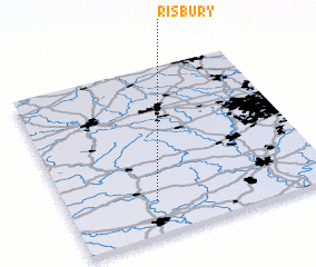 Places with similar names to Risbury, United Kingdom ::
Disclaimer :: Information on this page comes without warranty of any kind |
||
|
Where is Risbury? Elevation and coordinates ::
Latitude (lat): 52°12'0"N Longitude (lon): 2°40'0"W
Elevation (approx.): 129m (map arrows pan, magnifying glasses zoom) |
||
|
Visiting Risbury? Hotel/Accommodation ::
Book a hotel in Risbury Travel Guide ::
rental cars ::
car rental offers GPS waypoint ::
download a GPX waypoint (PoI) of Risbury for your GPS receiver
|
||