|
search place name
|
||
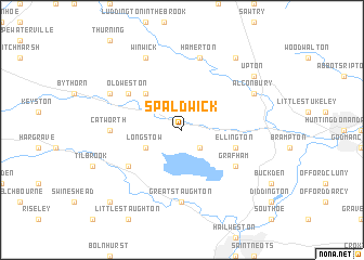
Spaldwick (United Kingdom)Spaldwick is a town in United Kingdom. An overview map of the region around Spaldwick is displayed below.
regional and 3d topo map of Spaldwick, United Kingdom ::
Spaldwick airports ::
The nearest airport is CBG - Cambridge, located 37.5 km east of Spaldwick.
Other airports nearby include LTN - London Luton (51.1 km south), MHZ - Mildenhall (56.0 km east), STN - London Stansted (63.3 km south east), KNF - Marham (69.5 km north east), Nearby towns ::
Easton (2.2km south east) //
Long Stow (2.9km south west) //
Leighton Bromswold (4.3km north west) //
Ellington (3.9km south east) //
Grafham (5.0km south east) //
Kimbolton (5.0km south west) //
Old Weston (5.0km north west) //
Great Staughton (7.4km south) //
Catworth (4.5km west) //
Hamerton (7.5km north) //
Alconbury (5.9km north east) //
Winwick (7.8km north) //
Molesworth (5.9km north west) //
Upton (7.2km north east) //
Coppingford (8.2km north east) //
Pertenhall (8.7km south west) //
[all distances 'as the bird flies' and approximate] 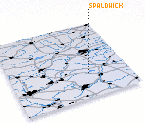 Places with similar names to Spaldwick, United Kingdom :: Disclaimer :: Information on this page comes without warranty of any kind |
||
|
Where is Spaldwick? Elevation and coordinates ::
Latitude (lat): 52°20'0"N Longitude (lon): 0°20'0"W
Elevation (approx.): 24m (map arrows pan, magnifying glasses zoom) |
||
|
Visiting Spaldwick? Hotel/Accommodation ::
Book a hotel in Spaldwick Travel Guide ::
rental cars ::
car rental offers GPS waypoint ::
download a GPX waypoint (PoI) of Spaldwick for your GPS receiver
|
||