|
search place name
|
||
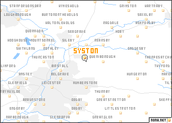
Syston (United Kingdom)Syston is a town in United Kingdom. An overview map of the region around Syston is displayed below.
regional and 3d topo map of Syston, United Kingdom ::
Syston airports ::
The nearest airport is EMA - Nottingham East Midlands, located 24.1 km north west of Syston.
Other airports nearby include CVT - Coventry (44.8 km south west), BHX - Birmingham (52.8 km south west), WTN - Waddington (65.0 km north east), QCY - Coningsby (75.9 km north east), Nearby towns ::
Ratcliffe on the Wreake (3.7km north) //
Queniborough (2.2km east) //
Sileby (4.3km north west) //
Rearsby (4.3km north east) //
Humberstone (5.6km south) //
Seagrave (5.7km north) //
Birstall (3.8km south west) //
Belgrave (5.0km south west) //
Rothley (4.9km west) //
Thurnby (7.7km south) //
Leicester (7.2km south west) //
Hoby (7.1km north east) //
Walton le Wolds (8.1km north west) //
Ragdale (8.1km north east) //
[all distances 'as the bird flies' and approximate] 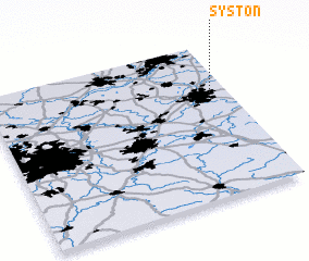 Places with similar names to Syston, United Kingdom ::
Disclaimer :: Information on this page comes without warranty of any kind |
||
|
Where is Syston? Elevation and coordinates ::
Latitude (lat): 52°41'0"N Longitude (lon): 1°4'0"W
Elevation (approx.): 63m (map arrows pan, magnifying glasses zoom) |
||
|
Visiting Syston? Hotel/Accommodation ::
Book a hotel in Syston Travel Guide ::
rental cars ::
car rental offers GPS waypoint ::
download a GPX waypoint (PoI) of Syston for your GPS receiver
|
||