|
search place name
|
||
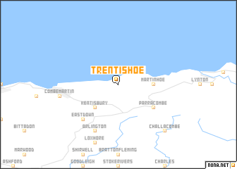
Trentishoe (United Kingdom)Trentishoe is a town in United Kingdom. An overview map of the region around Trentishoe is displayed below.
regional and 3d topo map of Trentishoe, United Kingdom ::
Trentishoe airports ::
The nearest airport is SWS - Swansea, located 44.0 km north of Trentishoe.
Other airports nearby include CWL - Cardiff (46.8 km north east), EXT - Exeter (65.5 km south east), BRS - Bristol (87.8 km east), PLH - Plymouth (89.0 km south), Nearby towns ::
Kentisbury (4.4km south west) //
Martinhoe (3.5km east) //
Parracombe (5.1km south east) //
East Down (6.6km south west) //
Arlington (7.8km south) //
Challacombe (8.7km south east) //
[all distances 'as the bird flies' and approximate] 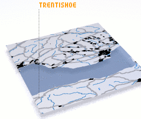 Places with similar names to Trentishoe, United Kingdom ::
Disclaimer :: Information on this page comes without warranty of any kind |
||
|
Where is Trentishoe? Elevation and coordinates ::
Latitude (lat): 51°13'0"N Longitude (lon): 3°57'0"W
Elevation (approx.): 226m (map arrows pan, magnifying glasses zoom) |
||
|
Visiting Trentishoe? Hotel/Accommodation ::
Book a hotel in Trentishoe Travel Guide ::
rental cars ::
car rental offers GPS waypoint ::
download a GPX waypoint (PoI) of Trentishoe for your GPS receiver
|
||