|
search place name
|
||
Dunbur (Cill Mhantáin, Ireland)Dunbur is a town in the Cill Mhantáin region of Ireland. An overview map of the region around Dunbur is displayed below.
regional and 3d topo map of Dunbur, Ireland ::

Dunbur airports ::
The nearest airport is DUB - Dublin, located 54.4 km north of Dunbur.
Other airports nearby include WAT - Waterford (112.1 km south west), IOM - Isle Of Man (155.9 km north east), BHD - Belfast City (185.2 km north), BFS - Belfast Aldergrove (189.8 km north), Nearby towns ::
Blainroe (2.4km south west) //
Ballyguile (2.3km west) //
Wicklow (2.9km north west) //
Cill Mhantáin (2.9km north west) //
Ballinteskin Cross Roads (4.0km south west) //
Gormanstown (4.7km south west) //
Ballydowling (5.6km south west) //
Hawkstown (5.0km west) //
Ráth Naoi (5.8km north west) //
Rathnew (5.8km north west) //
The Cedars (6.7km south west) //
Newrath Bridge (6.6km north west) //
Ballinaclogh (5.3km west) //
Jack Whiteʼs Cross Roads (9.9km south west) //
[all distances 'as the bird flies' and approximate] 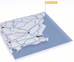 Places with similar names to Dunbur, Ireland ::
Disclaimer :: Information on this page comes without warranty of any kind |
||
|
Where is Dunbur? Elevation and coordinates ::
Latitude (lat): 52°57'23"N Longitude (lon): 6°1'10"W
Elevation (approx.): 59m (map arrows pan, magnifying glasses zoom) |
||
|
Visiting Dunbur? Hotel/Accommodation ::
Book a hotel in Dunbur Travel Guide ::
Buy a travel guide for Ireland rental cars ::
car rental offers GPS waypoint ::
download a GPX waypoint (PoI) of Dunbur for your GPS receiver
|
||