|
search place name
|
||
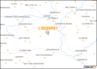
Lisdowney (Cill Chainnigh, Ireland)Lisdowney is a town in the Cill Chainnigh region of Ireland. An overview map of the region around Lisdowney is displayed below.
regional and 3d topo map of Lisdowney, Ireland ::
Lisdowney airports ::
The nearest airport is WAT - Waterford, located 70.1 km south of Lisdowney.
Other airports nearby include DUB - Dublin (102.7 km north east), SNN - Shannon (104.2 km west), GWY - Galway (118.7 km north west), ORK - Cork (129.6 km south west), Nearby towns ::
Knockmannon Cross Roads (2.0km west) //
Ballyconra (2.8km north east) //
Ballykealy (3.1km north west) //
Attanagh (5.3km north) //
Durrow (6.1km north) //
Darú (6.1km north) //
Freshford (6.2km south) //
Achadh Úr (6.2km south) //
Béal Átha Ragad (3.9km east) //
Ballyragget (3.9km east) //
Glashagal Bridge (4.8km north east) //
Arigna Bridge (7.0km south) //
Foyle Bridge (5.4km south west) //
New Bridge (7.6km north) //
Bunlacken (5.2km west) //
Graigueavoice (6.0km north west) //
Rosconnell Bridge (7.9km north east) //
Castlemarket Bridge (8.3km north east) //
[all distances 'as the bird flies' and approximate] 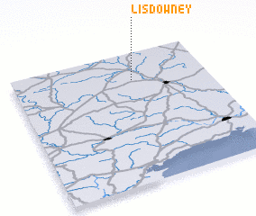 Places with similar names to Lisdowney, Ireland ::
Disclaimer :: Information on this page comes without warranty of any kind |
||
|
Where is Lisdowney? Elevation and coordinates ::
Latitude (lat): 52°47'22"N Longitude (lon): 7°23'19"W
Elevation (approx.): 92m (map arrows pan, magnifying glasses zoom) |
||
|
Visiting Lisdowney? Hotel/Accommodation ::
Book a hotel in Lisdowney Travel Guide ::
Buy a travel guide for Ireland rental cars ::
car rental offers GPS waypoint ::
download a GPX waypoint (PoI) of Lisdowney for your GPS receiver
|
||