|
search place name
|
||
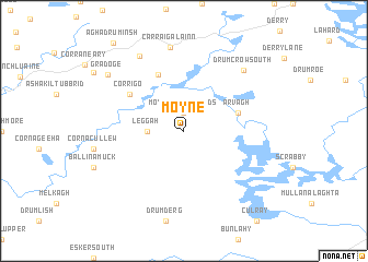
Moyne (Ireland)Moyne is a town in Ireland. An overview map of the region around Moyne is displayed below.
regional and 3d topo map of Moyne, Ireland ::
Moyne airports ::
The nearest airport is ENK - Enniskillen St Angelo, located 55.5 km north of Moyne.
Other airports nearby include SXL - Sligo (76.1 km north west), NOC - Connaught (77.9 km west), DUB - Dublin (104.7 km south east), GWY - Galway (109.4 km south west), Nearby towns ::
Moyne Cross Roads (1.9km north) //
Leggah (2.2km west) //
Ármhach (3.8km north east) //
Arvagh (3.8km north east) //
Glan Cross Roads (6.0km north) //
Corrigo (4.9km north west) //
Carraig Álainn (8.6km north) //
Carrigallen (8.6km north) //
Drumcrow South (7.2km north east) //
Mullanadarragh (8.1km north) //
Gradoge (7.4km north west) //
[all distances 'as the bird flies' and approximate] 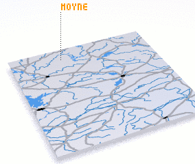 Places with similar names to Moyne, Ireland ::
Disclaimer :: Information on this page comes without warranty of any kind |
||
|
Where is Moyne? Elevation and coordinates ::
Latitude (lat): 53°54'0"N Longitude (lon): 7°38'0"W
Elevation (approx.): 162m (map arrows pan, magnifying glasses zoom) |
||
|
Visiting Moyne? Hotel/Accommodation ::
Book a hotel in Moyne Travel Guide ::
Buy a travel guide for Ireland rental cars ::
car rental offers GPS waypoint ::
download a GPX waypoint (PoI) of Moyne for your GPS receiver
|
||