|
search place name
|
||
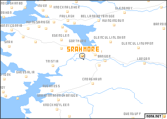
Srahmore (Maigh Eo, Ireland)Srahmore is a town in the Maigh Eo region of Ireland. An overview map of the region around Srahmore is displayed below.
regional and 3d topo map of Srahmore, Ireland ::
Srahmore airports ::
The nearest airport is NOC - Connaught, located 68.4 km east of Srahmore.
Other airports nearby include SXL - Sligo (78.7 km east), GWY - Galway (109.2 km south east), SNN - Shannon (170.4 km south), KIR - Kerry (219.3 km south), Nearby towns ::
Attavally (1.9km north east) //
Gortmore (3.3km north) //
Srahgraddy (2.4km south east) //
Cloontakilla (2.9km north east) //
Bangor (2.8km east) //
Baingear (2.8km east) //
Srahataggle South (3.9km north west) //
Croaghaun (5.5km south) //
Ederglen (5.3km north west) //
Tristia (4.2km west) //
Glencullin Lower (5.3km north east) //
Derreens (6.9km north) //
Muingerroon Bridge (8.3km north) //
Carrowmore (7.9km north) //
Bellanaboy Bridge (9.0km north) //
Faulagh (9.1km north) //
Aughness (8.0km south west) //
Muingingaun (8.7km north east) //
Barnatra (9.3km north west) //
Pollagarraun (8.6km north west) //
[all distances 'as the bird flies' and approximate] 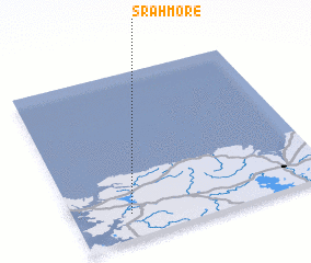 Places with similar names to Srahmore, Ireland ::
// Şura Mare (RO)
// Sarıömer (TR)
// Soromaray (MG)
// Soromaray (MG)
// Surīmāra (BD)
// Soroumbara (BF)
// Soroumboura (BF)
// Zaoromera (CF)
// Sarāi Mīr (IN)
// Sarmera (IN)
Disclaimer :: Information on this page comes without warranty of any kind |
||
|
Where is Srahmore? Elevation and coordinates ::
Latitude (lat): 54°8'42"N Longitude (lon): 9°47'0"W
Elevation (approx.): 9m (map arrows pan, magnifying glasses zoom) |
||
|
Visiting Srahmore? Hotel/Accommodation ::
Book a hotel in Srahmore Travel Guide ::
Buy a travel guide for Ireland rental cars ::
car rental offers GPS waypoint ::
download a GPX waypoint (PoI) of Srahmore for your GPS receiver
|
||