|
search place name
|
||
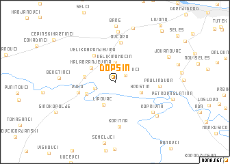
Dopsin (Croatia)Dopsin is a town in Croatia. An overview map of the region around Dopsin is displayed below.
regional and 3d topo map of Dopsin, Croatia ::
Dopsin airports ::
The nearest airport is OSI - Osijek, located 19.7 km east of Dopsin.
Other airports nearby include BEG - Beograd (154.5 km south east), SJJ - Sarajevo (181.4 km south), BUD - Budapest Ferihegy (227.3 km north), Nearby towns ::
Vladislavci (1.6km north east) //
Mali Pomoćin (2.4km north west) //
Veliki Pomoćin (3.2km north) //
Veliki Rastovac (2.5km south west) //
Lipovac (4.0km south) //
Mala Branjevina (3.5km north west) //
Hrastin (3.4km south east) //
Mali Rastovac (3.8km south west) //
Bijele Klade (3.6km west) //
Velika Branjevina (4.9km north west) //
Vuka (4.6km west) //
Ovčara (6.4km north) //
Paulin Dvor (5.1km east) //
Koritna (7.2km south) //
Koprivna (6.5km south east) //
Čepin (8.3km north) //
Šodolovci (7.3km south east) //
Gušće Čepinsko (9.1km north) //
Jovanovac (7.3km north east) //
Brešće (9.9km north east) //
[all distances 'as the bird flies' and approximate] 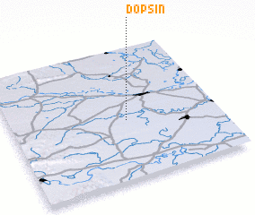 Places with similar names to Dopsin, Croatia ::
Disclaimer :: Information on this page comes without warranty of any kind |
||
|
Where is Dopsin? Elevation and coordinates ::
Latitude (lat): 45°26'57"N Longitude (lon): 18°33'33"E
Elevation (approx.): 85m (map arrows pan, magnifying glasses zoom) |
||
|
Visiting Dopsin? Hotel/Accommodation ::
Book a hotel in Dopsin Travel Guide ::
Buy a travel guide for Croatia rental cars ::
car rental offers GPS waypoint ::
download a GPX waypoint (PoI) of Dopsin for your GPS receiver
|
||