|
search place name
|
||
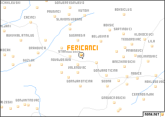
Feričanci (Virovitičko-Podravska Županija, Croatia)Feričanci is a town in the Virovitičko-Podravska Županija region of Croatia. An overview map of the region around Feričanci is displayed below.
regional and 3d topo map of Feričanci, Croatia ::
Feričanci airports ::
The nearest airport is OSI - Osijek, located 65.6 km east of Feričanci.
Other airports nearby include ZAG - Zagreb (150.6 km west), SJJ - Sarajevo (191.5 km south), BUD - Budapest Ferihegy (233.7 km north east), SPU - Split (258.2 km south west), Nearby towns ::
Crkvari (1.5km south west) //
Stara Jošava (2.1km west) //
Vučjak Feričanački (2.5km south east) //
Valenovac (3.3km south) //
Bankovci (4.3km north) //
Duga Međa (4.3km north) //
Nova Jošava (3.6km west) //
Dolci (4.1km north west) //
Gazije (4.8km south west) //
Sumeđe (4.6km south west) //
Beljevina (4.9km north east) //
Gornja Motičina (6.4km south) //
Donja Motičina (5.3km south east) //
Zdenci (7.0km north) //
Ðurđenovac (5.7km east) //
Slavonske Bare (8.2km north) //
Seona (7.4km south east) //
Bokšić (7.9km north east) //
Bijeljevina Orahovička (7.2km north west) //
Stari Zoljan (7.7km south east) //
[all distances 'as the bird flies' and approximate] 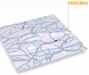 Places with similar names to Feričanci, Croatia ::
// Vrakhnós (GR)
// Vareikonys (LT)
// Nosy Varika (MG)
// Verganza (CO)
// Verganzo (CO)
// Varganzi (UZ)
// Fragnes (FR)
// Varaignes (FR)
// Vergoncey (FR)
// Vergonnes (FR)
Disclaimer :: Information on this page comes without warranty of any kind |
||
|
Where is Feričanci? Elevation and coordinates ::
Latitude (lat): 45°31'44"N Longitude (lon): 17°58'33"E
Elevation (approx.): 125m (map arrows pan, magnifying glasses zoom) |
||
|
Visiting Feričanci? Hotel/Accommodation ::
Book a hotel in Feričanci Travel Guide ::
Buy a travel guide for Croatia rental cars ::
car rental offers GPS waypoint ::
download a GPX waypoint (PoI) of Feričanci for your GPS receiver
|
||