|
search place name
|
||
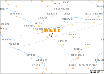
Osojnik (Croatia)Osojnik is a town in Croatia. An overview map of the region around Osojnik is displayed below.
regional and 3d topo map of Osojnik, Croatia ::
Osojnik airports ::
The nearest airport is RJK - Rijeka, located 53.4 km west of Osojnik.
Other airports nearby include ZAG - Zagreb (77.8 km north east), LJU - Ljubliana Ljubljana (108.2 km north west), PUY - Pula (115.2 km south west), POW - Portoroz (124.3 km west), Nearby towns ::
Mali Jadrč (0.9km south east) //
Veliki Jadrč (1.3km west) //
Liplje (2.3km north east) //
Zdihovo (3.1km north east) //
Severin na Kupi (3.2km north west) //
Ponikve (3.7km south east) //
Damelj (5.2km north west) //
Sinji Vrh (6.4km north) //
Nova Lipa (7.4km north) //
Hrsina (5.2km east) //
Pribanjci (6.8km north east) //
Bosanci (6.7km north east) //
Lukovdol (6.4km north west) //
Vinica (8.4km north east) //
Gomirje (9.1km south west) //
Otok na Dobri (9.8km south east) //
[all distances 'as the bird flies' and approximate] 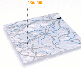 Places with similar names to Osojnik, Croatia ::
Disclaimer :: Information on this page comes without warranty of any kind |
||
|
Where is Osojnik? Elevation and coordinates ::
Latitude (lat): 45°24'0"N Longitude (lon): 15°12'0"E
Elevation (approx.): 306m (map arrows pan, magnifying glasses zoom) |
||
|
Visiting Osojnik? Hotel/Accommodation ::
Book a hotel in Osojnik Travel Guide ::
Buy a travel guide for Croatia rental cars ::
car rental offers GPS waypoint ::
download a GPX waypoint (PoI) of Osojnik for your GPS receiver
|
||