|
search place name
|
||
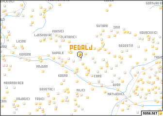
Pedalj (Croatia)Pedalj is a town in Croatia. An overview map of the region around Pedalj is displayed below.
regional and 3d topo map of Pedalj, Croatia ::
Pedalj airports ::
The nearest airport is ZAG - Zagreb, located 69.5 km north of Pedalj.
Other airports nearby include RJK - Rijeka (135.9 km west), ZAD - Zadar (137.0 km south west), MBX - Maribor (156.4 km north), SPU - Split (177.8 km south), Nearby towns ::
Donji Pedalj (0.4km south west) //
Gornji Pedalj (1.2km north east) //
Vilensko Brdo (1.4km south) //
Donja Stupnica (1.5km south west) //
Grčići (2.0km north) //
Miličevići (2.4km south) //
Maljkovići (2.5km north) //
Miletići (1.8km east) //
Joševica (2.6km south) //
Tepšići (2.2km north west) //
Preradovića Brdo (2.1km west) //
Ljubišići (2.6km north west) //
Gornja Stupnica (2.5km north west) //
Udetin (2.4km south east) //
Stambolije (3.1km south) //
Niševići (3.0km south east) //
Ðurići (3.2km south) //
Grabovica (3.3km north) //
Kukići (3.1km north east) //
Samardžije (3.0km north east) //
Gage (3.5km south) //
Trgovi (3.6km south) //
Rujevac (2.8km west) //
Kovačevići (3.9km south) //
Vučinići (3.2km north east) //
Menićani (3.2km west) //
Radišići (3.3km west) //
Zlatovići (4.3km north west) //
Arbutine Vrpoljske (4.4km south east) //
[all distances 'as the bird flies' and approximate] 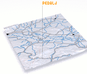
Disclaimer :: Information on this page comes without warranty of any kind |
||
|
Where is Pedalj? Elevation and coordinates ::
Latitude (lat): 45°8'19"N Longitude (lon): 16°17'44"E
Elevation (approx.): 200m (map arrows pan, magnifying glasses zoom) |
||
|
Visiting Pedalj? Hotel/Accommodation ::
Book a hotel in Pedalj Travel Guide ::
Buy a travel guide for Croatia rental cars ::
car rental offers GPS waypoint ::
download a GPX waypoint (PoI) of Pedalj for your GPS receiver
|
||