|
search place name
|
||
Podvinje (Croatia)Podvinje is a town in Croatia. An overview map of the region around Podvinje is displayed below.
regional and 3d topo map of Podvinje, Croatia ::

Podvinje airports ::
The nearest airport is OSI - Osijek, located 68.5 km north east of Podvinje.
Other airports nearby include SJJ - Sarajevo (153.7 km south), ZAG - Zagreb (165.0 km north west), OMO - Mostar (212.4 km south), SPU - Split (229.5 km south west), Nearby towns ::
Rastušje (1.7km north) //
Tomica (1.4km north east) //
Brodsko Brdo (1.9km west) //
Grabarje Brodsko (3.0km north) //
Slavonski Brod (3.5km south) //
Podcrkavlje (4.0km north) //
Marinci (3.3km west) //
Bukovlje (3.4km east) //
Kindrovo (5.1km north) //
Brodski Varoš (3.9km west) //
Gornja Vrba (4.9km south east) //
Galicijani (4.6km north west) //
Ježevik (4.5km north east) //
Gornji Poloj (6.2km south) //
Oriovčić (7.0km north) //
Poloj (6.5km south east) //
Vranovci (5.0km east) //
Bare (6.8km south) //
Bosanski Brod (6.6km south west) //
Glogovica (6.2km north west) //
Dubovik (7.4km north) //
Ruščica (6.4km south east) //
Struga (7.7km south) //
Korduševci (6.0km north east) //
Gromačnik (5.6km west) //
Matković Mala (7.9km north) //
Crni Potok Brodski (7.2km north east) //
Grede (7.7km south) //
Donji Slatinik (7.6km north) //
[all distances 'as the bird flies' and approximate] 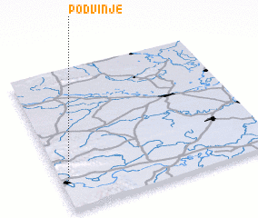 Places with similar names to Podvinje, Croatia ::
Disclaimer :: Information on this page comes without warranty of any kind |
||
|
Where is Podvinje? Elevation and coordinates ::
Latitude (lat): 45°11'25"N Longitude (lon): 18°1'37"E
Elevation (approx.): 114m (map arrows pan, magnifying glasses zoom) |
||
|
Visiting Podvinje? Hotel/Accommodation ::
Book a hotel in Podvinje Travel Guide ::
Buy a travel guide for Croatia rental cars ::
car rental offers GPS waypoint ::
download a GPX waypoint (PoI) of Podvinje for your GPS receiver
|
||