|
search place name
|
||
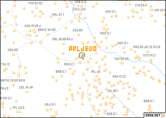
Prljevo (Croatia)Prljevo is a town in Croatia. An overview map of the region around Prljevo is displayed below.
regional and 3d topo map of Prljevo, Croatia ::
Prljevo airports ::
The nearest airport is ZAD - Zadar, located 72.9 km south west of Prljevo.
Other airports nearby include SPU - Split (106.1 km south), ZAG - Zagreb (140.1 km north), RJK - Rijeka (145.7 km north west), OMO - Mostar (193.7 km south east), Nearby towns ::
Donji Varoš (0.9km south west) //
Pod Debeljačom (1.2km north) //
Ograđenice (0.9km north west) //
Bijelo Brdo (1.0km south east) //
Miljuši (1.1km east) //
Dukići (1.2km west) //
Kamenito Poljice (2.2km south) //
Doljani (2.3km south) //
Bakrač (2.4km north) //
Krnete (2.9km north) //
Donje Poljice (2.1km east) //
Vršine (2.5km north east) //
Jelčići (3.3km south) //
Kozjača (3.0km south west) //
Potkraj (2.8km north west) //
Šarci (2.8km north west) //
Doljani (3.6km north) //
Medići (3.0km south west) //
Dobroselo (3.4km north west) //
Majstorovići (3.1km south east) //
Doljanski Bubanj (4.0km north) //
Majstorovići (3.7km south west) //
Krš (3.0km east) //
Cvrkalj (3.8km north east) //
Pilipovići (4.0km north east) //
Selište (4.4km north east) //
Potkraj (3.5km west) //
Drče (4.8km south) //
Pilje (4.4km south east) //
[all distances 'as the bird flies' and approximate] 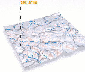 Places with similar names to Prljevo, Croatia :: Disclaimer :: Information on this page comes without warranty of any kind |
||
|
Where is Prljevo? Elevation and coordinates ::
Latitude (lat): 44°28'57"N Longitude (lon): 16°5'51"E
Elevation (approx.): 594m (map arrows pan, magnifying glasses zoom) |
||
|
Visiting Prljevo? Hotel/Accommodation ::
Book a hotel in Prljevo Travel Guide ::
Buy a travel guide for Croatia rental cars ::
car rental offers GPS waypoint ::
download a GPX waypoint (PoI) of Prljevo for your GPS receiver
|
||